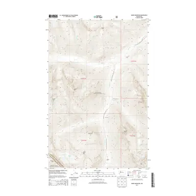
2014 Map of Agnes Mountain
USGS Topo · Published 2014About this map
Agnes Mtn stands as the central landmark of this high-altitude landscape, where the peaks of the North Cascades meet at the border of Chelan Co and Snohomish Co. The 2014 survey documents a glaciated environment defined by permanent ice fields such as Chickamin Glacier, Blue Glacier, and Company Glacier. This region is a critical corridor for the Pacific Crest National Scenic Trail, which winds north past Hemlock Camp and Cedar Camp toward the drainage of Agnes Cr.
Find a feature on this map
41 named features on this map. Tap any name to fly to it.
Don’t see what you’re looking for? This feature index may not catch every label — zoom into the map to look around manually.
Map Details
Editions of this 2014 Agnes Mountain Map
This is the sole edition of this map. No revisions or reprints were ever made.
Other maps of this area

1899 · Glacier Peak
USGS Topo · 1:125,000

1901 · Glacier Peak
USGS Topo · 1:125,000

1902 · Stehekin
USGS Topo · 1:125,000

1904 · Stehekin
USGS Topo · 1:125,000

1944 · Holden
USGS Topo · 1:62,500

1949 · Holden
USGS Topo · 1:62,500

1950 · Glacier Peak
USGS Topo · 1:62,500

1955 · Concrete
USGS Topo · 1:250,000

1958 · Concrete
USGS Topo · 1:250,000

1962 · Concrete
USGS Topo · 1:250,000