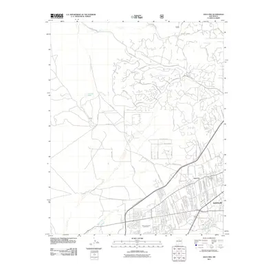
2011 Map of Agua Fria
USGS Topo · Published 2011About this map
Agua Fria and the western reaches of Santa Fe appear here in 2011, illustrating the modern expansion of these high-desert communities. The landscape is defined by its drainages, where the Santa Fe River flows past the Santa Fe Municipal Golf Course and the quiet San Isidro Cemetery. To the north, the terrain becomes more residential and open, characterized by the winding routes of Camino La Tierra and the planned developments of La Tierra Nueva.
Find a feature on this map
56 named features on this map. Tap any name to fly to it.
Don’t see what you’re looking for? This feature index may not catch every label — zoom into the map to look around manually.
Map Details
Editions of this 2011 Agua Fria Map
This is the sole edition of this map. No revisions or reprints were ever made.
Other maps of this area

1889 · Santa Fe
USGS Topo · 1:125,000

1892 · Santa Clara
USGS Topo · 1:125,000

1894 · Santa Fe
USGS Topo · 1:125,000

1951 · Agua Fria
USGS Topo · 1:24,000

1951 · Turquoise Hill
USGS Topo · 1:24,000

1952 · Santa Fe
USGS Topo · 1:24,000

1952 · Turquoise Hill
USGS Topo · 1:24,000

1952 · Seton Village
USGS Topo · 1:24,000

1952 · White Rock
USGS Topo · 1:24,000

1952 · Montoso Peak
USGS Topo · 1:24,000