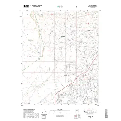
2023 Map of Agua Fria
USGS Topo · Published 2023About this map
The Santa Fe River winds through this high-desert landscape, anchoring a corridor of historical transit and modern growth. South of the Caja del Rio Plateau, the historic Agua Fria settlement preserves its local heritage through sites like the Agua Fria Cem and San Isidro Cem, while the northern reaches of the quadrangle are defined by more recent residential developments such as Las Campanas, La Tierra, and Tres Arroyos.
Find a feature on this map
146 named features on this map. Tap any name to fly to it.
Don’t see what you’re looking for? This feature index may not catch every label — zoom into the map to look around manually.
Map Details
Editions of this 2023 Agua Fria Map
This is the sole edition of this map. No revisions or reprints were ever made.
Other maps of this area

1889 · Santa Fe
USGS Topo · 1:125,000

1892 · Santa Clara
USGS Topo · 1:125,000

1894 · Santa Fe
USGS Topo · 1:125,000

1951 · Agua Fria
USGS Topo · 1:24,000

1951 · Turquoise Hill
USGS Topo · 1:24,000

1952 · Santa Fe
USGS Topo · 1:24,000

1952 · Turquoise Hill
USGS Topo · 1:24,000

1952 · Seton Village
USGS Topo · 1:24,000

1952 · White Rock
USGS Topo · 1:24,000

1952 · Montoso Peak
USGS Topo · 1:24,000