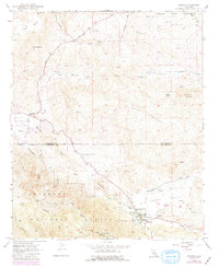
1997 Map of Aguanga
USGS Topo · Published 2000About this map
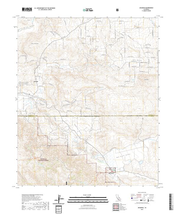
The Cahuilla Indian Reservation and Cleveland National Forest dominate this late-century landscape where the High Desert meets the Peninsular Ranges. This 1997 revision captures the intersection of rural ranching life and historical preservation along the Riverside and San Diego County line. The map highlights the deep history of the southern California interior, specifically at Oak Grove, where the Oak Grove Stage Station Historical Marker and Camp Wright Historical Marker denote early transit and military outposts.
Find a feature on this map
28 named features on this map. Tap any name to fly to it.
Don’t see what you’re looking for? This feature index may not catch every label — zoom into the map to look around manually.
Map Details
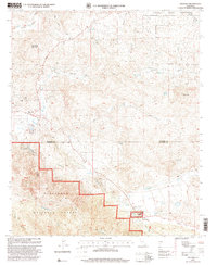
Editions of this 1997 Aguanga Map
This is the sole edition of this map. No revisions or reprints were ever made.
Historical Maps of Oak Grove Through Time
6 maps found