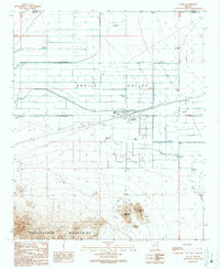
1990 Map of Aguila
USGS Topo · Published 1990About this map
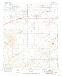
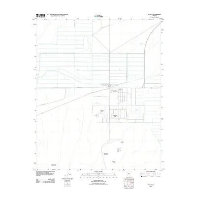
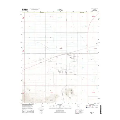
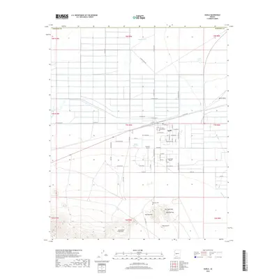
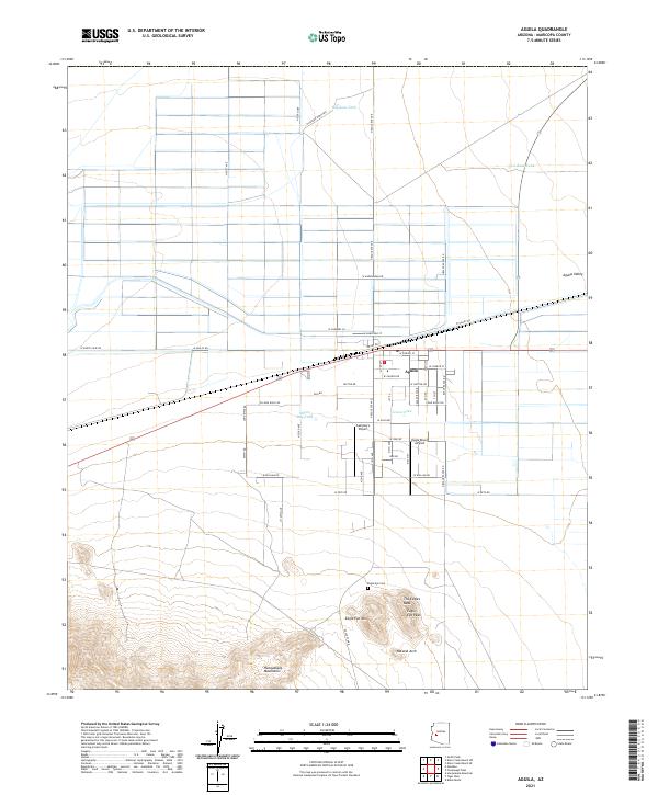
The desert settlement of Aguila stands at a crossroads of agriculture and arid wilderness in this late-twentieth-century study of the Aguila Valley. The landscape is defined by human attempts to manage water and transit, evidenced by an Abandoned Ditch, a series of Landing Strips, and a protective Levee near the town center. To the south, the terrain rises sharply into the Harquahala Mountains, featuring distinctive landmarks like the Eagle Eye Peak and a Natural Arch. Local life is anchored by family-named water sources like Milton Ray Tank and Haydons Tank, while the presence of a Cem and a Trailer Park offer specific points of interest for genealogists tracing modern occupancy. The map also records industrial remnants, including several Prospects, a Drill Hole, and numerous Pumping Stations that fueled the valley's irrigation.
Find a feature on this map
34 named features on this map. Tap any name to fly to it.
Don’t see what you’re looking for? This feature index may not catch every label — zoom into the map to look around manually.
Map Details
Editions of this 1990 Aguila Map
This is the sole edition of this map. No revisions or reprints were ever made.
Historical Maps of Aguila Through Time
6 maps found