
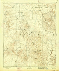
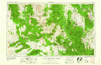
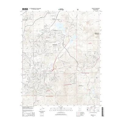
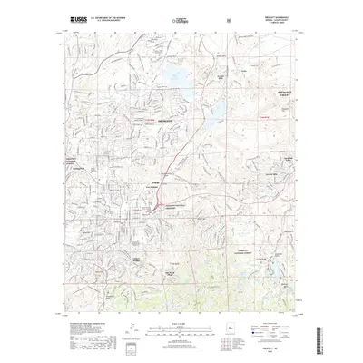
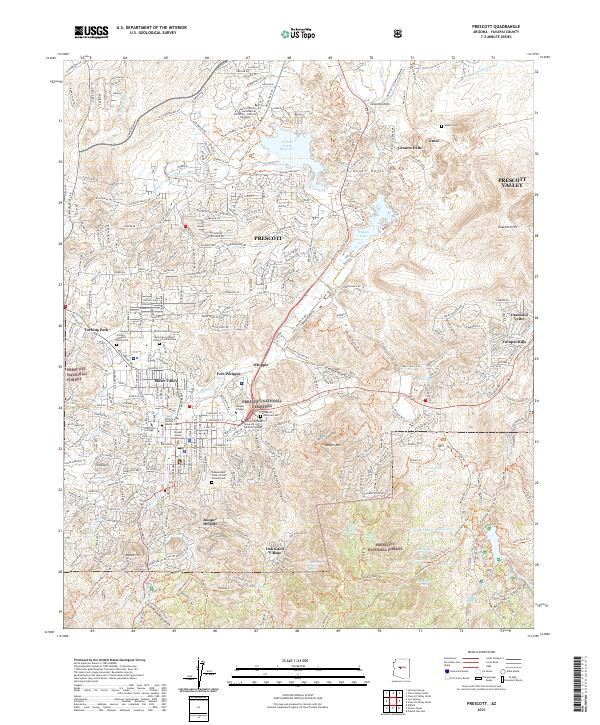
1950 Map of Prescott
USGS Topo · Published 1951About this map
The copper mining and ranching heart of Yavapai County is documented in this mid-century survey, centered on the steep slopes of the Black Mountain range. High-altitude mining centers like Jerome and the United Verde Mine dominate the eastern reaches, while remote western outposts such as Bagdad and Boriana illustrate the industrial push into the high desert. The map captures a transition period for several small settlements, including Clemenceau and the agricultural pocket of Chino Valley.
Find a feature on this map
165 named features on this map. Tap any name to fly to it.
Don’t see what you’re looking for? This feature index may not catch every label — zoom into the map to look around manually.
Map Details
Editions of this 1950 Prescott Map
This is the sole edition of this map. No revisions or reprints were ever made.
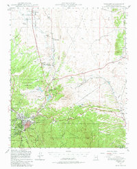
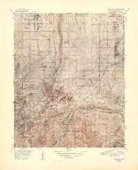
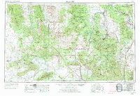
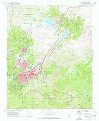
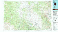
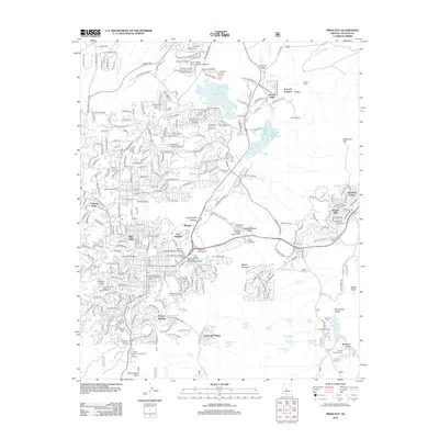
Historical Maps of Prescott Through Time
16 maps found

1887 Prescott
Yavapai County, AZ
1892 Prescott
Yavapai County, AZ
1947 Prescott
Yavapai County, AZ
1948 Prescott
Yavapai County, AZ
1950 Prescott
Yavapai County, AZ
1954 Prescott
Yavapai County, AZ

1958 Prescott
Yavapai County, AZ

1959 Prescott
Yavapai County, AZ
1960 Prescott
Yavapai County, AZ

1965 Prescott
Yavapai County, AZ
1973 Prescott
Yavapai County, AZ
1981 Prescott
Yavapai County, AZ
2012 Prescott
Yavapai County, AZ
2014 Prescott
Yavapai County, AZ
2018 Prescott
Yavapai County, AZ
2021 Prescott
Yavapai County, AZ