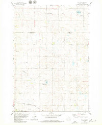
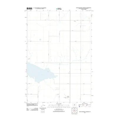
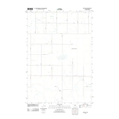
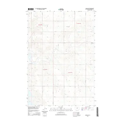
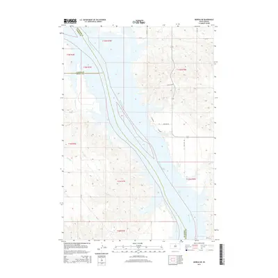
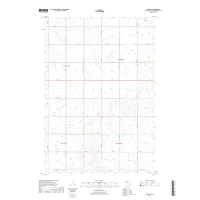
1968 Map of Akaska NE
USGS Topo · Published 1971About this map
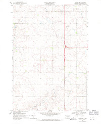
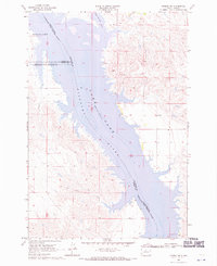
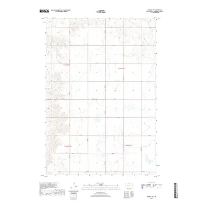
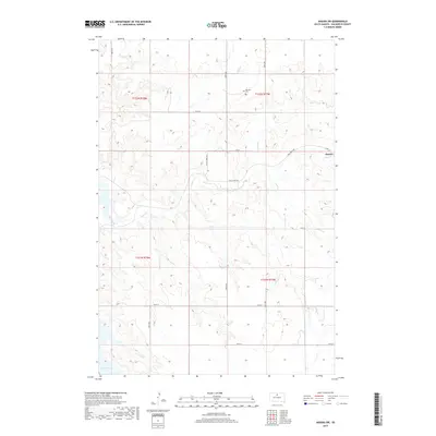
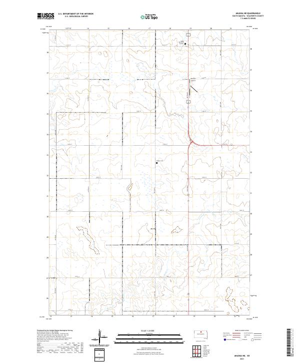
Rieger Creek winds through this portion of Walworth County, carving a subtle drainage pattern across the landscape south of the Selby Corp Bdy. The map captures the agricultural and transportation infrastructure of the late 1960s, featuring the Rabenberg Airport and a prominent Radio Tower that served as local landmarks. The area around the Selby municipal boundary shows the transition from town planning to open range, with Selby Union Cem and Bangor Cem providing essential points of reference for genealogists and local historians tracking early settlement patterns. Along the highway, the Hoffman Roadside Park offers a glimpse into the mid-century travel amenities provided by the State of South Dakota Department of Highways during this era of rural development.
Find a feature on this map
8 named features on this map. Tap any name to fly to it.
Don’t see what you’re looking for? This feature index may not catch every label — zoom into the map to look around manually.
Map Details
Editions of this 1968 Akaska NE Map
This is the sole edition of this map. No revisions or reprints were ever made.
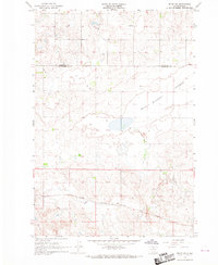
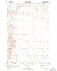
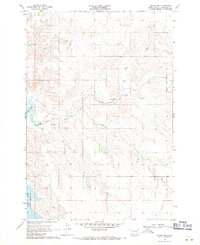
Historical Maps of Selby Through Time
45 maps found
1967 Selby SW
Walworth County, SD
1968 Akaska NE
Walworth County, SD
1968 Akaska NW
Walworth County, SD
1968 Akaska SW
Walworth County, SD
1968 Moreau NE
Walworth County, SD
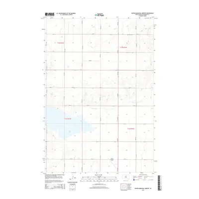
1974 Hoven Muni. Airport
Walworth County, SD
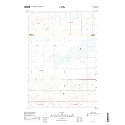
1974 Lowry NW
Walworth County, SD
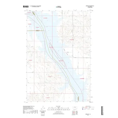
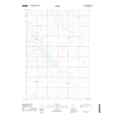
1974 Spring Lake
Walworth County, SD
1978 Java SE
Walworth County, SD
2012 Akaska NE
Walworth County, SD
2012 Akaska NW
Walworth County, SD
2012 Akaska SW
Walworth County, SD
2012 Hoven Municipal Airport
Walworth County, SD
2012 Java SE
Walworth County, SD
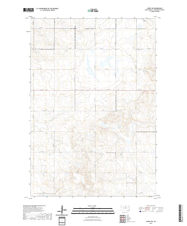
2012 Lowry NW
Walworth County, SD
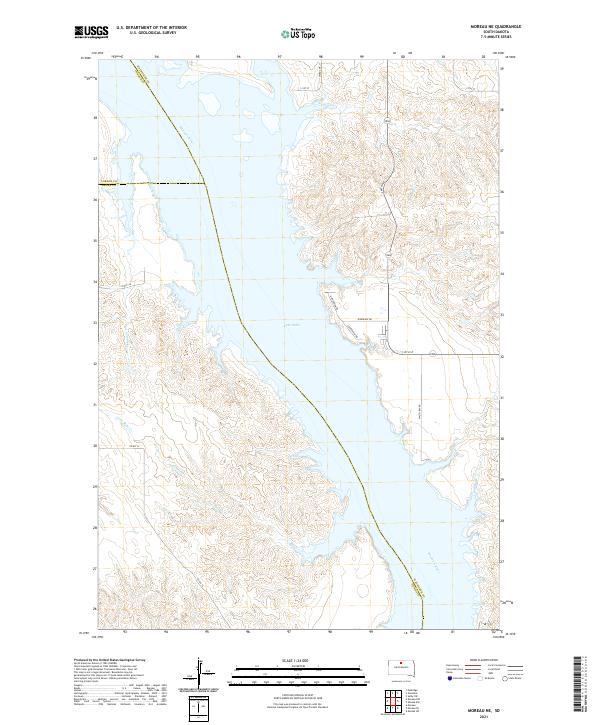
2012 Moreau NE
Walworth County, SD
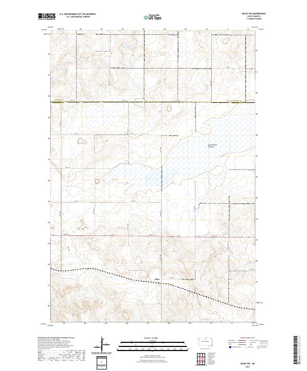
2012 Selby SW
Walworth County, SD
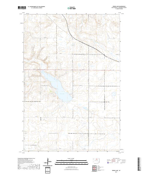
2012 Spring Lake
Walworth County, SD
2015 Akaska NE
Walworth County, SD
2015 Akaska NW
Walworth County, SD
2015 Akaska SW
Walworth County, SD
2015 Hoven Municipal Airport
Walworth County, SD
2015 Java SE
Walworth County, SD
2015 Lowry NW
Walworth County, SD
2015 Moreau NE
Walworth County, SD
2015 Selby SW
Walworth County, SD
2015 Spring Lake
Walworth County, SD
2017 Akaska NE
Walworth County, SD
2017 Akaska NW
Walworth County, SD
2017 Akaska SW
Walworth County, SD
2017 Hoven Municipal Airport
Walworth County, SD
2017 Java SE
Walworth County, SD
2017 Lowry NW
Walworth County, SD
2017 Moreau NE
Walworth County, SD
2017 Selby SW
Walworth County, SD
2017 Spring Lake
Walworth County, SD
2021 Akaska NE
Walworth County, SD
2021 Akaska NW
Walworth County, SD
2021 Akaska SW
Walworth County, SD
2021 Hoven Municipal Airport
Walworth County, SD

2021 Java SE
Walworth County, SD
2021 Lowry NW
Walworth County, SD
2021 Moreau NE
Walworth County, SD
2021 Selby SW
Walworth County, SD
2021 Spring Lake
Walworth County, SD