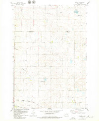
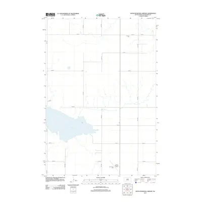
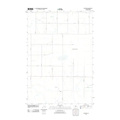
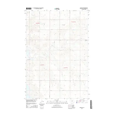
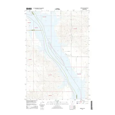
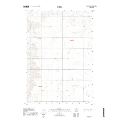
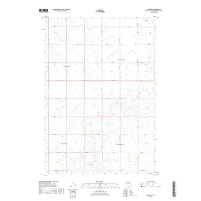
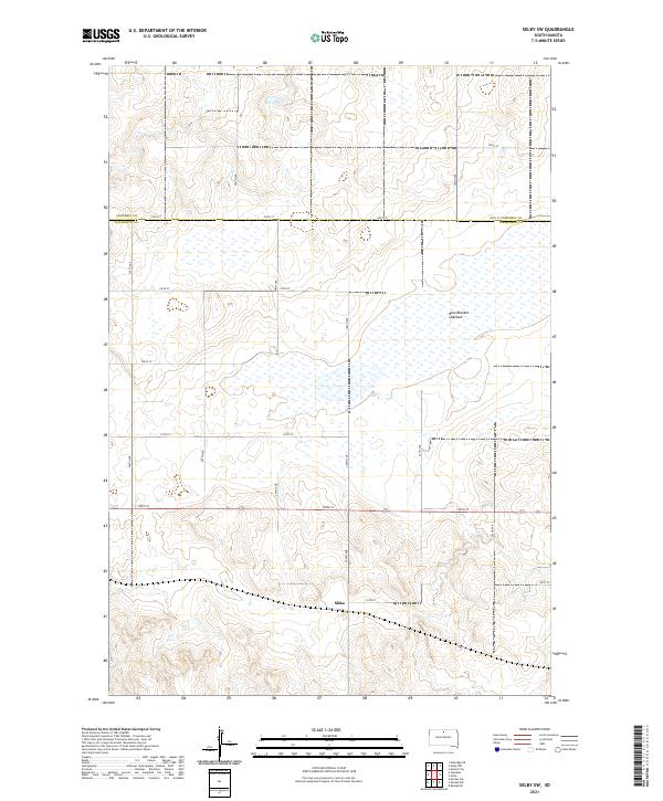
1967 Map of Selby SW
USGS Topo · Published 1969About this map
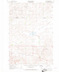
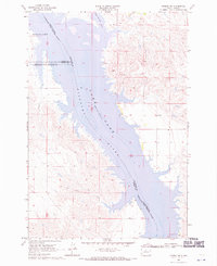
The northern Missouri Plateau landscape of the late 1960s is defined here by the crossing of the Chicago Milwaukee St Paul and Pacific railroad through the small settlement of Sitka. This South Dakota prairie region, spanning the Campbell Co Walworth Co boundary, reflects a rural economy rooted in rail transport and local education. Scattered one-room schoolhouses, such as Lund Sch and Lindbergh Sch, serve the surrounding farmsteads. The terrain is marked by distinctive glacial features, most notably the wide expanse of the Blue Blanket Lake Bed, which dominates the central portion of the quadrangle. Industrial activity is visible in the form of a Gravel Pit and a regional Substation, indicating the infrastructure supporting this agricultural corridor during the mid-20th century.
Find a feature on this map
8 named features on this map. Tap any name to fly to it.
Don’t see what you’re looking for? This feature index may not catch every label — zoom into the map to look around manually.
Map Details
Editions of this 1967 Selby SW Map
This is the sole edition of this map. No revisions or reprints were ever made.
Historical Maps of Sitka Through Time
45 maps found
1967 Selby SW
Walworth County, SD
1968 Akaska NE
Walworth County, SD
1968 Akaska NW
Walworth County, SD
1968 Akaska SW
Walworth County, SD
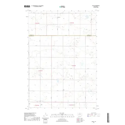
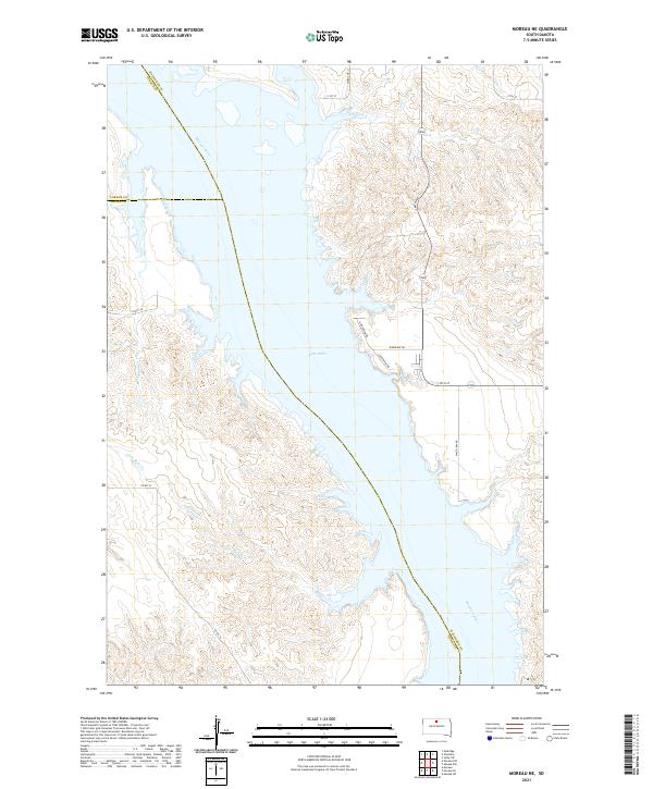
1968 Moreau NE
Walworth County, SD
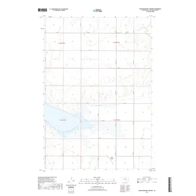
1974 Hoven Muni. Airport
Walworth County, SD
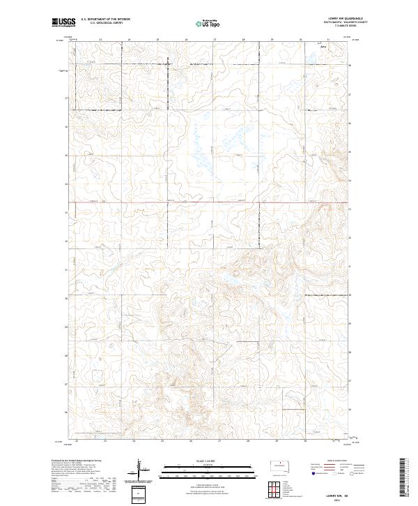
1974 Lowry NW
Walworth County, SD
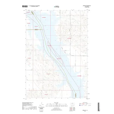
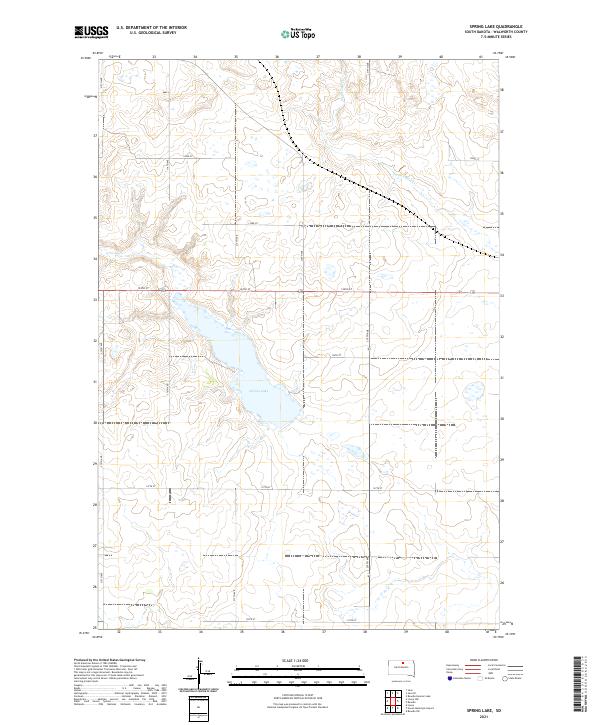
1974 Spring Lake
Walworth County, SD
1978 Java SE
Walworth County, SD
2012 Akaska NE
Walworth County, SD
2012 Akaska NW
Walworth County, SD
2012 Akaska SW
Walworth County, SD
2012 Hoven Municipal Airport
Walworth County, SD
2012 Java SE
Walworth County, SD
2012 Lowry NW
Walworth County, SD
2012 Moreau NE
Walworth County, SD
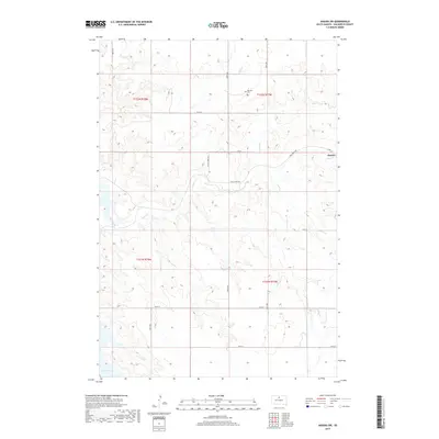
2012 Selby SW
Walworth County, SD
2012 Spring Lake
Walworth County, SD
2015 Akaska NE
Walworth County, SD
2015 Akaska NW
Walworth County, SD
2015 Akaska SW
Walworth County, SD
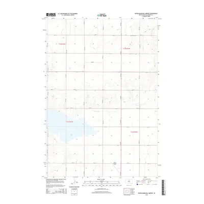
2015 Hoven Municipal Airport
Walworth County, SD
2015 Java SE
Walworth County, SD
2015 Lowry NW
Walworth County, SD
2015 Moreau NE
Walworth County, SD
2015 Selby SW
Walworth County, SD
2015 Spring Lake
Walworth County, SD
2017 Akaska NE
Walworth County, SD
2017 Akaska NW
Walworth County, SD
2017 Akaska SW
Walworth County, SD
2017 Hoven Municipal Airport
Walworth County, SD
2017 Java SE
Walworth County, SD
2017 Lowry NW
Walworth County, SD
2017 Moreau NE
Walworth County, SD
2017 Selby SW
Walworth County, SD
2017 Spring Lake
Walworth County, SD
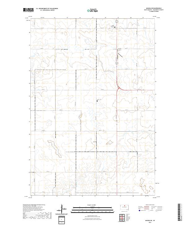
2021 Akaska NE
Walworth County, SD
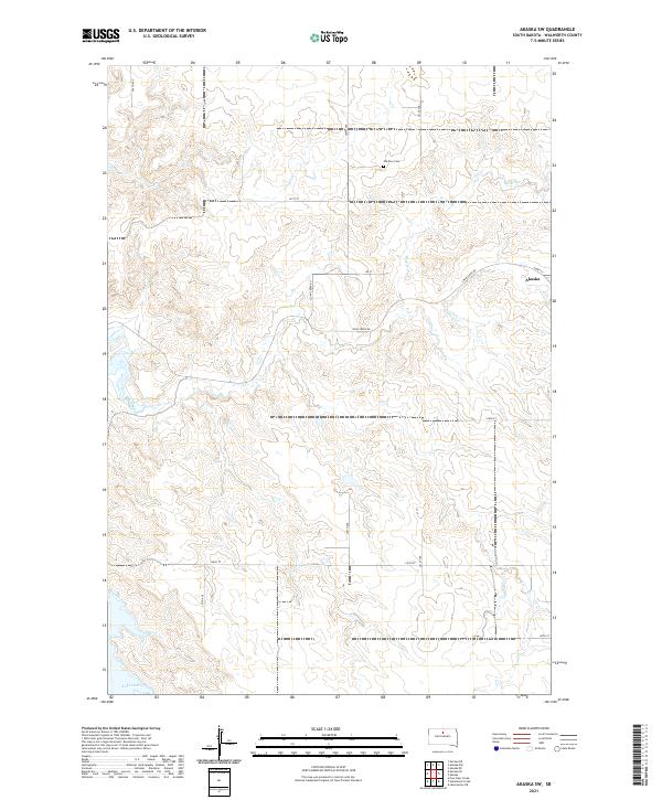
2021 Akaska NW
Walworth County, SD
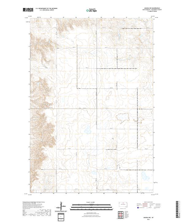
2021 Akaska SW
Walworth County, SD
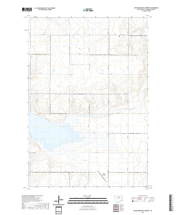
2021 Hoven Municipal Airport
Walworth County, SD

2021 Java SE
Walworth County, SD
2021 Lowry NW
Walworth County, SD
2021 Moreau NE
Walworth County, SD
2021 Selby SW
Walworth County, SD
2021 Spring Lake
Walworth County, SD