Loading...
Loading map...1967 Map of Glenham
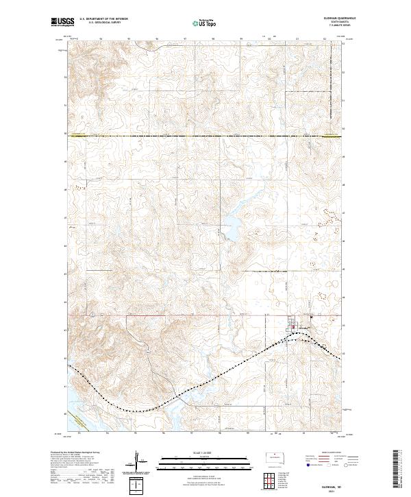
USGS Topo · Published 1968About this map
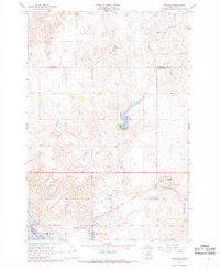
Glenham sits at a focal point of transit and industry in the late 1960s, defined by the crossing of the Chicago Milwaukee St Paul and Pacific railroad and a network of Gravel Pits. The landscape transitions from the upland plains, where the Habenberg Sch once served rural families, down to the engineered waters of the Oahe Reservoir. The impoundment of the Missouri River is a dominant geographic feature here, creating a vast shoreline that reaches toward Ridgeland.
Find a feature on this map
16 named features on this map. Tap any name to fly to it.
Don’t see what you’re looking for? This feature index may not catch every label — zoom into the map to look around manually.
Map Details
Date Portrayed1967
Date Published1968
PublisherU.S. Geological Survey
Map TypeTopographic
Scale1:24,000
Physical Dimensions22 x 26.8 inches
Editions of this 1967 Glenham Map
This is the sole edition of this map. No revisions or reprints were ever made.
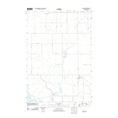
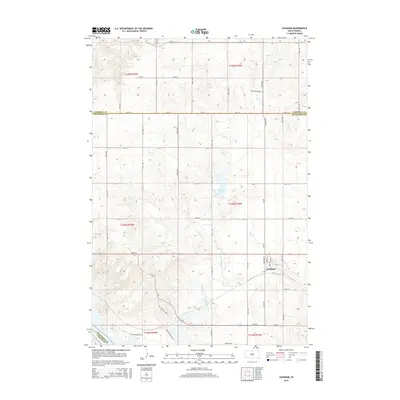
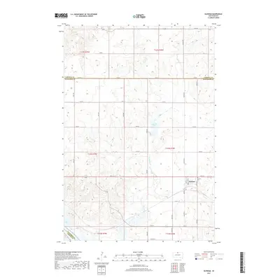
Historical Maps of Wakpala Through Time
5 maps found
Featured Locations
Source Details
SourceU.S. Geological Survey
CopyrightPublic Domain