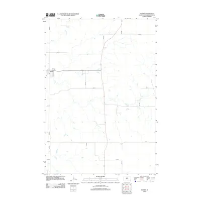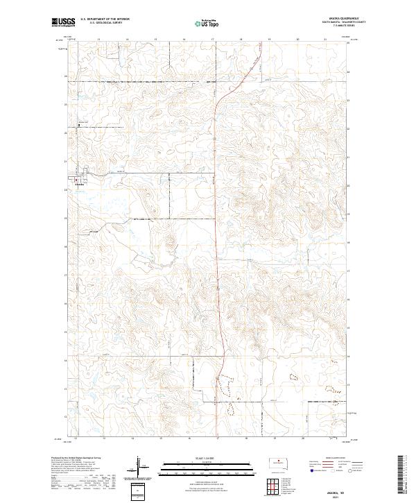
1968 Map of Akaska
USGS Topo · Published 1971About this map
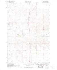
Akaska sits on the western edge of this Walworth County landscape, serving as a focal point for the surrounding prairie at the end of the 1960s. The town's layout and nearby Akaska Cem are clearly defined, providing a reliable reference for genealogists and local historians. The map records a significant shift in the local infrastructure, notably the Old Railroad Grade that winds through the terrain, marking the path of former transit lines that once connected these rural communities to broader markets.
Find a feature on this map
10 named features on this map. Tap any name to fly to it.
Don’t see what you’re looking for? This feature index may not catch every label — zoom into the map to look around manually.
Map Details
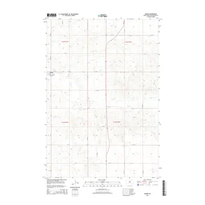
Editions of this 1968 Akaska Map
This is the sole edition of this map. No revisions or reprints were ever made.
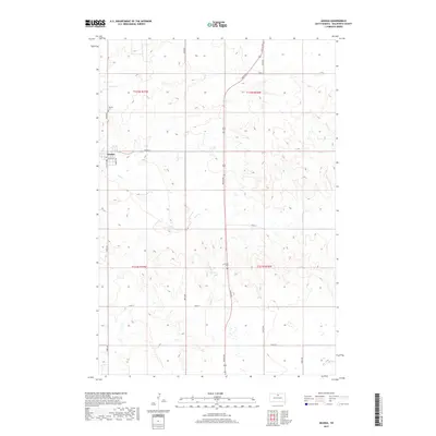
Historical Maps of Akaska Through Time
5 maps found