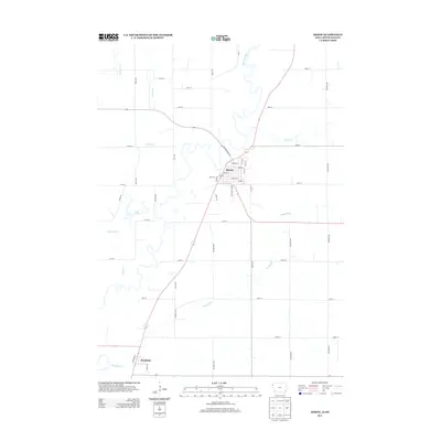
2013 Map of Akron
USGS Topo · Published 2013About this map
Akron serves as the focal point of this Plymouth County landscape, where the town’s street grid meets the winding course of the Big Sioux River. The map highlights the town's core, centered on Main St and Iowa St, extending toward the Country Club Dr area. The surrounding Iowa countryside is defined by a dense network of watercourses and rural roads, including Union Cr, Beaver Cr, and Westfield Cr, which drain into the river valley. To the south, the smaller settlement of Westfield occupies a bend in the river near the junction of several drainage systems. The presence of Lake Nixon and the meandering path of Sayles Creek suggest the complex hydrology of the floodplain at the South Dakota border, providing a clear record of the area's agricultural and riverine layout in the early 21st century.
Find a feature on this map
55 named features on this map. Tap any name to fly to it.
Don’t see what you’re looking for? This feature index may not catch every label — zoom into the map to look around manually.
Map Details
Editions of this 2013 Akron Map
This is the sole edition of this map. No revisions or reprints were ever made.
Other maps of this area

1898 · Elk Point
USGS Topo · 1:125,000

1901 · Elk Point
USGS Topo · 1:125,000

1907 · Elk Point
USGS Topo · 1:125,000

1955 · Sioux City
USGS Topo · 1:250,000

1958 · Sioux City
USGS Topo · 1:250,000

1959 · Sioux City
USGS Topo · 1:250,000

1963 · Elk Point
USGS Topo · 1:24,000

1963 · Elk Point NE
USGS Topo · 1:24,000
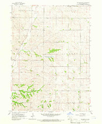
1964 · Millnerville
USGS Topo · 1:24,000
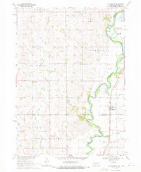
1969 · Chatsworth
USGS Topo · 1:24,000