Loading...
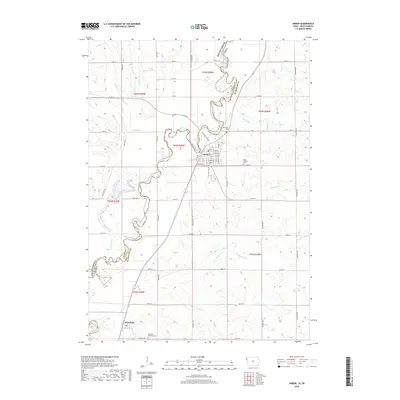
Loading map...1969 Map of Akron
USGS Topo · Published 1971About this map
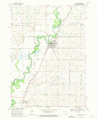
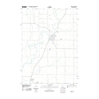
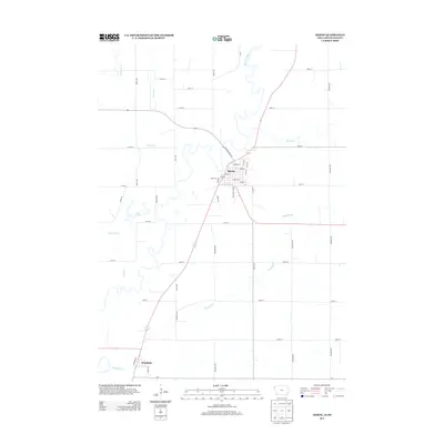
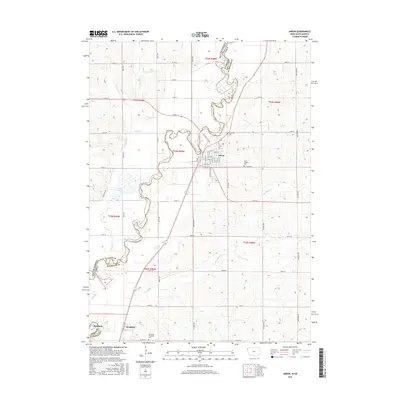
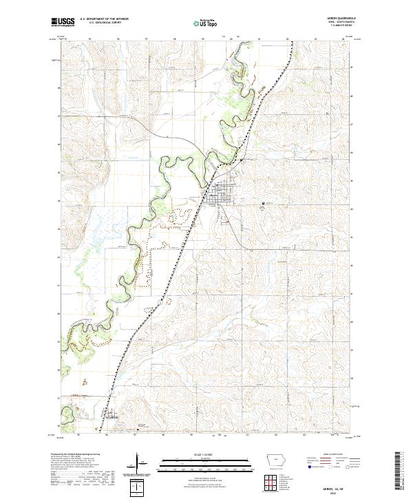
The Big Sioux River carves a winding path along the border of Iowa and South Dakota, anchoring a landscape defined by the alluvial Sioux Valley and the railroad corridor of the Chicago Milwaukee St Paul and Pacific. In the late 1960s, the town of Akron serves as a local hub, featuring a concentrated street grid, Riverside Cem, and the nearby St Josephs Cem. Further south, the smaller settlement of Westfield sits near the confluence of Westfield Creek and the main river.
Find a feature on this map
27 named features on this map. Tap any name to fly to it.
Don’t see what you’re looking for? This feature index may not catch every label — zoom into the map to look around manually.
Map Details
Date Portrayed1969
Date Published1971
PublisherU.S. Geological Survey
Map TypeTopographic
Scale1:24,000
Physical Dimensions22 x 27 inches
Editions of this 1969 Akron Map
This is the sole edition of this map. No revisions or reprints were ever made.
Historical Maps of Akron Through Time
6 maps found
Featured Locations
Source Details
SourceU.S. Geological Survey
CopyrightPublic Domain