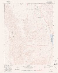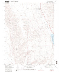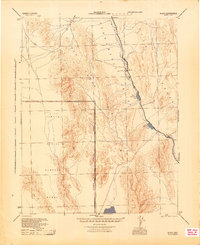
1945 Map of Alamo
USGS Topo · Published 1945About this map
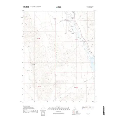
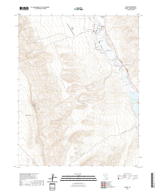
Alamo serves as the primary settlement hub in this mid-century survey, situated within the fertile corridor of the Pahranagat Valley. The landscape is dominated by the stark contrast between the well-watered valley floor and the surrounding arid uplands, including the Silver Canyon Mts to the west and the Hyco Range to the east. A significant portion of the southwestern quadrant is occupied by the Tonopah Aerial Gunnery Range, marked by an Approximate Reservation Boundary that reflects the area's increasing military importance during the 1940s.
Find a feature on this map
14 named features on this map. Tap any name to fly to it.
Don’t see what you’re looking for? This feature index may not catch every label — zoom into the map to look around manually.
Map Details
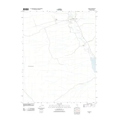
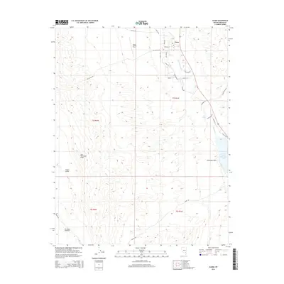
Editions of this 1945 Alamo Map
This is the sole edition of this map. No revisions or reprints were ever made.
Historical Maps of Alamo Through Time
7 maps found