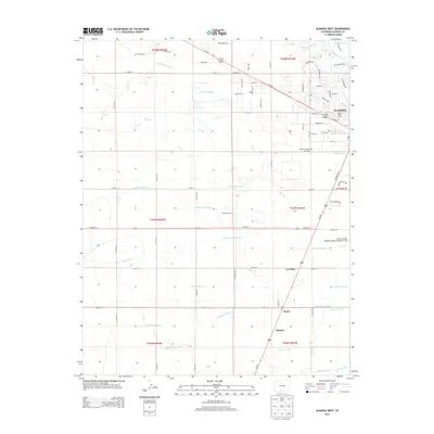
2013 Map of Alamosa West
USGS Topo · Published 2013About this map
The Rio Grande flows through the northern reaches of this landscape, just north of the growing city of Alamosa. This survey highlights the complex irrigation network of the San Luis Valley, featuring an intricate system of canals and ditches such as the Denver Colony Lateral, Waverly Drain Ditch, and Alamosa Farm Lateral. These waterworks supported the agricultural settlements of La Fruto, Henry, and Hartner south of the city center. In the heart of town, Adams State Univ stands as a focal point of the community near the junction of Main St and 1st St.
Find a feature on this map
82 named features on this map. Tap any name to fly to it.
Don’t see what you’re looking for? This feature index may not catch every label — zoom into the map to look around manually.
Map Details
Editions of this 2013 Alamosa West Map
This is the sole edition of this map. No revisions or reprints were ever made.
Other maps of this area

1915 · Del Norte
USGS Topo · 1:125,000

1917 · Del Norte
USGS Topo · 1:125,000

1922 · Conejos
USGS Topo · 1:125,000

1945 · Durango
USGS Topo · 1:250,000

1953 · Durango
USGS Topo · 1:250,000

1954 · Durango
USGS Topo · 1:250,000

1954 · Trinidad
USGS Topo · 1:250,000

1955 · Trinidad
USGS Topo · 1:250,000

1958 · Trinidad
USGS Topo · 1:250,000

1959 · Trinidad
USGS Topo · 1:250,000