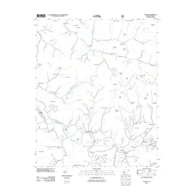
2011 Map of Alarka
USGS Topo · Published 2011About this map
The rugged terrain of the Alarka region in Macon County is defined by steep ridges and numerous mining operations. The settlement of Alarka sits nestled among peaks like Scott Knob and Phillip Knob, where the landscape is carved by waterways such as Alarka Creek and Sawmill Creek. Local history is preserved in several burial grounds, including Brendle Cemetery and Cochran Cemetery. The area's economic past is evident through several mining sites, notably the Sheffield Mine and Gibsons Ruby Mine, as well as the Jones Ruby Mine near Caler Fork. Small communities and landmarks like Oak Grove, Unahala, and the Etna Post Office provide a look into the rural development of this North Carolina mountain territory. Roads such as Alarka Rd and Unahala Creek Rd navigate the challenging topography, connecting isolated homesites and valleys like Martin Cove and Grape Cove.
Find a feature on this map
165 named features on this map. Tap any name to fly to it.
Don’t see what you’re looking for? This feature index may not catch every label — zoom into the map to look around manually.
Map Details
Editions of this 2011 Alarka Map
This is the sole edition of this map. No revisions or reprints were ever made.
Other maps of this area

1891 · Cowee
USGS Topo · 1:125,000

1897 · Cowee
USGS Topo · 1:125,000

1907 · Cowee
USGS Topo · 1:125,000

1933 · Bryson
USGS Topo · 1:62,500

1933 · Bushnell
USGS Topo · 1:62,500

1935 · Franklin
USGS Topo · 1:24,000

1935 · Burningtown Bald
USGS Topo · 1:24,000

1935 · Wayah Bald
USGS Topo · 1:48,000

1935 · Corbin Knob
USGS Topo · 1:24,000
1936 · Greens Creek
USGS Topo · 1:24,000