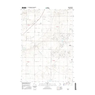
2017 Map of Alba
USGS Topo · Published 2017About this map
The unincorporated community of Alba anchors the northwestern corner of this landscape, situated at the intersection of Alba Hwy and Mackinaw Trl. The area reflects a mix of traditional rural Michigan settlement and modern recreational development. To the east and south, the residential resort community of Lakes of the North is characterized by its winding street network, serving local landmarks such as Lake Harold and Hawk Lake. Transportation for this enclave is facilitated by the Lakes of the North Airport nearby.
Find a feature on this map
90 named features on this map. Tap any name to fly to it.
Don’t see what you’re looking for? This feature index may not catch every label — zoom into the map to look around manually.
Map Details
Editions of this 2017 Alba Map
This is the sole edition of this map. No revisions or reprints were ever made.
Other maps of this area

1954 · Traverse City
USGS Topo · 1:250,000

1955 · Cheboygan
USGS Topo · 1:250,000

1956 · Alba
USGS Topo · 1:62,500

1956 · Mancelona
USGS Topo · 1:62,500

1958 · Cheboygan
USGS Topo · 1:250,000

1958 · Traverse City
USGS Topo · 1:250,000

1961 · Boyne Falls
USGS Topo · 1:62,500

1961 · Boyne City
USGS Topo · 1:62,500

1975 · Mancelona NE
USGS Topo · 1:24,000

1982 · Petoskey
USGS Topo · 1:100,000