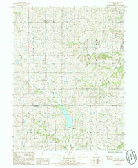
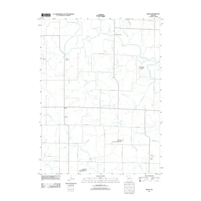
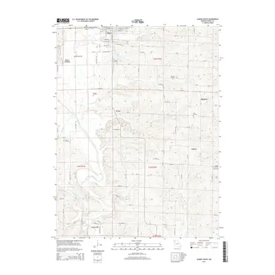
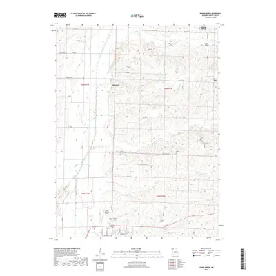
1985 Map of Albany South
USGS Topo · Published 1985About this map
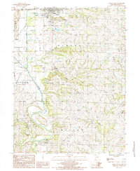
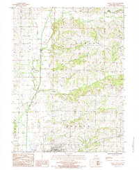
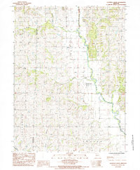
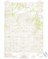
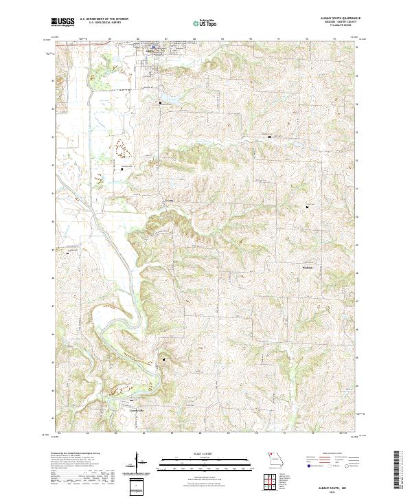
Gentryville and Albany anchor this mid-1980s landscape in Gentry County, defined by the winding course of the Grand River and its Grand River East Fork. The terrain is marked by significant hydrological features including Lee Lake and several smaller streams like Stillhouse Br and Bearright Branch. The map reveals a transition between established town centers and the river's dynamic floodplain, which is noted for its numerous Sand Areas along the bends of the river. Small crossroads and rail-adjacent locations such as Albany Junction, Evona, and Whitten illustrate the local distribution of rural settlements. This record captures the region’s topography through detailed contouring, showing the relationship between the low-lying river bottoms and the surrounding uplands within Athens, Cooper, and Miller townships.
Find a feature on this map
23 named features on this map. Tap any name to fly to it.
Don’t see what you’re looking for? This feature index may not catch every label — zoom into the map to look around manually.
Map Details
Editions of this 1985 Albany South Map
This is the sole edition of this map. No revisions or reprints were ever made.
Historical Maps of Albany Through Time
25 maps found
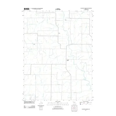
1984 Albany North
Gentry County, MO
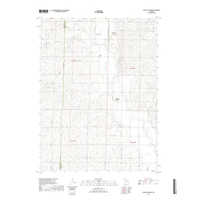
1985 Alanthus Grove
Gentry County, MO
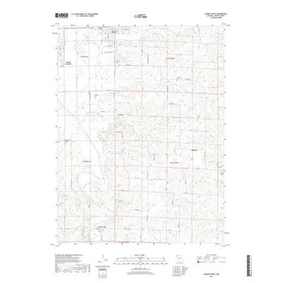
1985 Albany South
Gentry County, MO
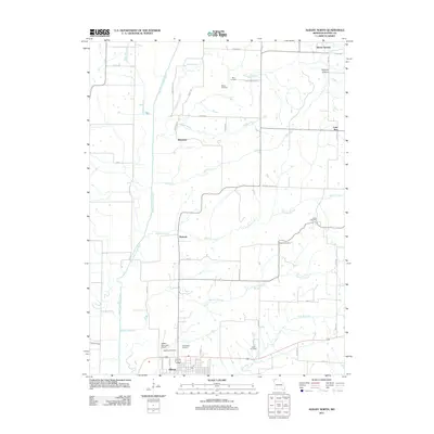
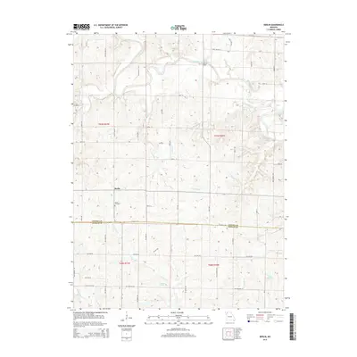
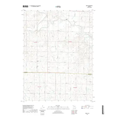
1985 Berlin
Gentry County, MO
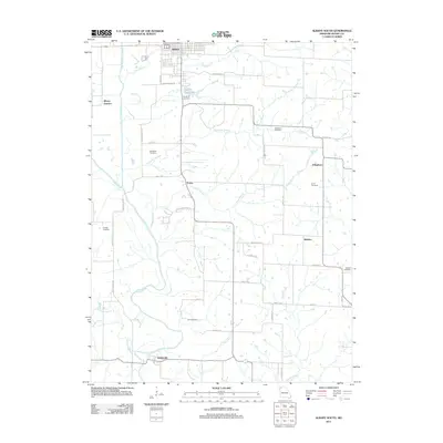
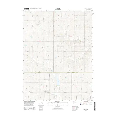
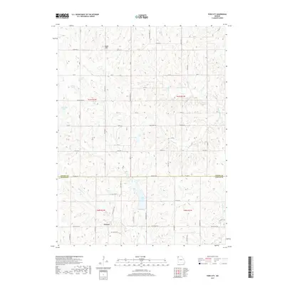
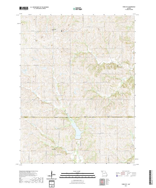
1985 Ford City
Gentry County, MO
2011 Alanthus Grove
Gentry County, MO
2011 Albany North
Gentry County, MO
2011 Albany South
Gentry County, MO
2011 Berlin
Gentry County, MO
2011 Ford City
Gentry County, MO
2014 Alanthus Grove
Gentry County, MO
2014 Albany North
Gentry County, MO
2014 Albany South
Gentry County, MO
2014 Berlin
Gentry County, MO
2014 Ford City
Gentry County, MO
2017 Alanthus Grove
Gentry County, MO
2017 Albany North
Gentry County, MO
2017 Albany South
Gentry County, MO
2017 Berlin
Gentry County, MO
2017 Ford City
Gentry County, MO
2021 Alanthus Grove
Gentry County, MO
2021 Albany North
Gentry County, MO
2021 Albany South
Gentry County, MO
2021 Berlin
Gentry County, MO
2021 Ford City
Gentry County, MO
Featured Locations
- Cooper Township, MO
- Miller Township, MO
- Gentryville, Miller Township
- Albany, Athens Township
- Evona, Athens Township