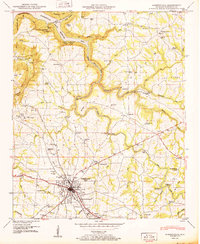
1950 Map of Albertville
USGS Topo · Published 1950About this map
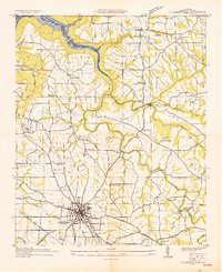
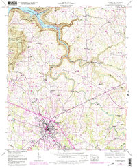
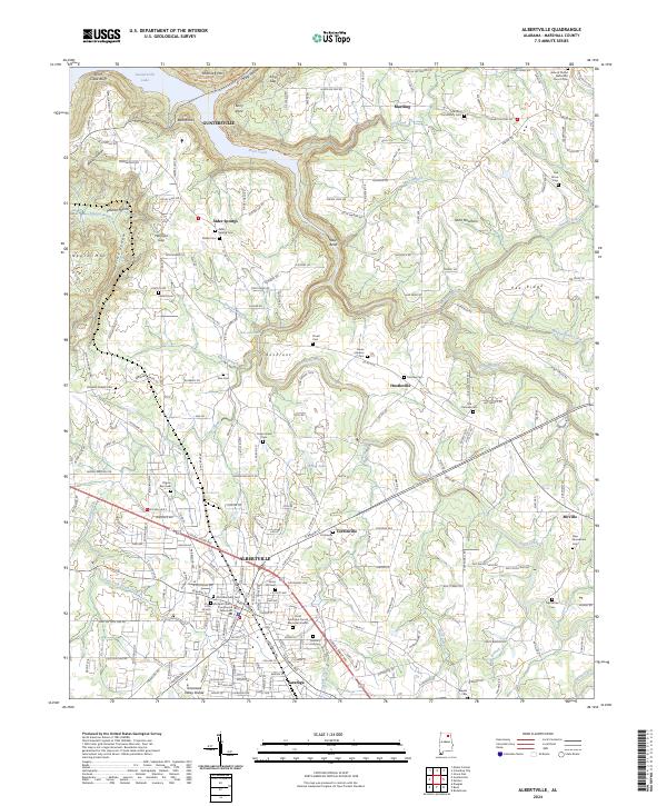
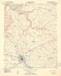
Albertville sits at a geographic crossroads atop the high plateau of Sand Mountain, where the Nashville and St Louis Railway corridor defines the urban grid. This 1950s era survey by the Tennessee Valley Authority captures the rural landscape as it transitions toward the waters of the Guntersville Reservoir at Berry Point. The map provides an exceptionally detailed look at the social geography of Marshall County, documenting a dense network of country schools like Asbury School and Corbinville Sch, alongside numerous landmarks such as Old Fairview Church and New Macedonia Church. Natural features including Short Creek Falls and the bluffs of Little Mountain State Park contrast with the industrial and civic markers of the time, from the Saratoga radio towers to the Albertville-Boaz Water Supply infrastructure.
Find a feature on this map
63 named features on this map. Tap any name to fly to it.
Don’t see what you’re looking for? This feature index may not catch every label — zoom into the map to look around manually.
Map Details
Editions of this 1950 Albertville Map
2 editions found
Historical Maps of Albertville Through Time
4 maps found