2021 Map of Albion
USGS Topo · Published 2021About this map
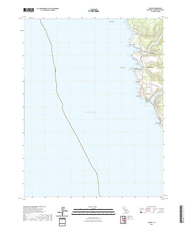
Albion and the neighboring settlement of Whitesboro occupy a dramatic stretch of the Mendocino coast where the forest meets the Pacific. The landscape is defined by the deep incisions of the Albion River and the Navarro River, both of which terminate in sheltered coves that historically served as critical shipping points for the region's timber industry. The map captures the distinct settlement pattern of the area, with Albion Flat situated at the river's mouth while residential development follows the high ground along Albion Ridge Rd and Navarro Ridge.
Find a feature on this map
35 named features on this map. Tap any name to fly to it.
Don’t see what you’re looking for? This feature index may not catch every label — zoom into the map to look around manually.
Map Details
Editions of this 2021 Albion Map
This is the sole edition of this map. No revisions or reprints were ever made.
Historical Maps of Albion Through Time
3 maps found