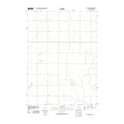
2010 Map of Alcester SE
USGS Topo · Published 2010About this map
The Big Sioux River carves a winding path along the eastern edge of this agricultural landscape on the South Dakota and Iowa border. This rural area is characterized by a high density of small burial grounds, reflecting the deep-rooted settlement history of Union County. Points of interest for genealogists include Nathanael Cemetery, Pleasant Hill Cemetery, Pleasant Valley Cemetery, and Erickson Cemetery, each situated amidst a network of drainage systems like Green Creek and Finnie Creek. The map documents a classic Midwestern section-line road grid, including Union 27 and Virginia Rd, which connect the scattered farmsteads and creek crossings. The hydrological pattern is particularly detailed, showing the convergence of the South Branch Green Creek and East Union Creek as they move toward the primary river valley.
Find a feature on this map
27 named features on this map. Tap any name to fly to it.
Don’t see what you’re looking for? This feature index may not catch every label — zoom into the map to look around manually.
Map Details
Editions of this 2010 Alcester SE Map
This is the sole edition of this map. No revisions or reprints were ever made.
Other maps of this area

1897 · Canton
USGS Topo · 1:125,000

1898 · Elk Point
USGS Topo · 1:125,000

1900 · Canton
USGS Topo · 1:125,000

1901 · Elk Point
USGS Topo · 1:125,000

1907 · Elk Point
USGS Topo · 1:125,000

1955 · Sioux City
USGS Topo · 1:250,000

1955 · Sioux Falls
USGS Topo · 1:250,000

1958 · Sioux City
USGS Topo · 1:250,000

1958 · Sioux Falls
USGS Topo · 1:250,000

1959 · Sioux City
USGS Topo · 1:250,000