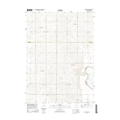
2015 Map of Alcester SE
USGS Topo · Published 2015About this map
The Big Sioux River serves as the prominent natural boundary between South Dakota and Iowa on this 2015 topographic survey. The landscape is defined by a dense grid of rural roads and section lines, including Virginia Rd and numerated corridors such as 301st St and 302nd St. This quadrangle captures a quiet agricultural region where small family and community burial grounds remain the primary named landmarks of the social fabric. Genealogists can trace local history through the presence of several established cemeteries, including Nathanael Cem, Pleasant Hill Cem, Pleasant Valley Cem, and Erickson Cem. A network of small waterways, such as E Brule Cr, Green Cr, and Finnie Cr, weave through the surveyed townships, illustrating the drainage patterns that shaped the early settlement and modern agricultural layout of Union County.
Find a feature on this map
26 named features on this map. Tap any name to fly to it.
Don’t see what you’re looking for? This feature index may not catch every label — zoom into the map to look around manually.
Map Details
Editions of this 2015 Alcester SE Map
This is the sole edition of this map. No revisions or reprints were ever made.
Other maps of this area

1897 · Canton
USGS Topo · 1:125,000

1898 · Elk Point
USGS Topo · 1:125,000

1900 · Canton
USGS Topo · 1:125,000

1901 · Elk Point
USGS Topo · 1:125,000

1907 · Elk Point
USGS Topo · 1:125,000

1955 · Sioux City
USGS Topo · 1:250,000

1955 · Sioux Falls
USGS Topo · 1:250,000

1958 · Sioux City
USGS Topo · 1:250,000

1958 · Sioux Falls
USGS Topo · 1:250,000

1959 · Sioux City
USGS Topo · 1:250,000