Loading...
Loading map...1968 Map of Alcester
USGS Topo · Published 1970About this map
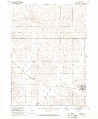
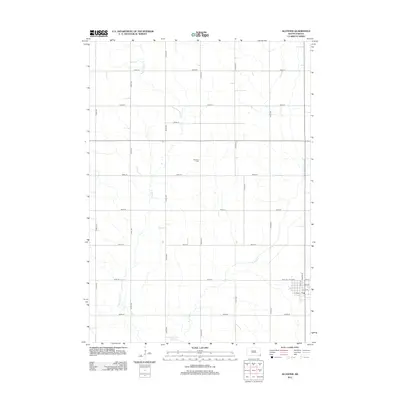
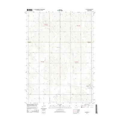
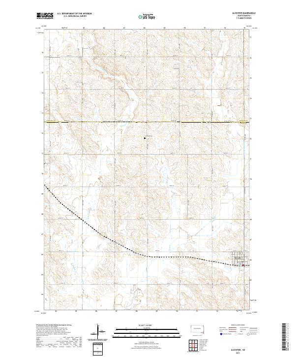
Alcester serves as the primary hub in this late 1960s survey of the agricultural landscape along the border of Lincoln Co and Union Co. The town is situated along the Chicago and North Western rail line, which cuts diagonally across the southern plains. The surrounding landscape is defined by the drainage of West Brule Creek and East Brule Creek, providing the vital water source for the region's productive farmsteads.
Find a feature on this map
17 named features on this map. Tap any name to fly to it.
Don’t see what you’re looking for? This feature index may not catch every label — zoom into the map to look around manually.
Map Details
Date Portrayed1968
Date Published1970
PublisherU.S. Geological Survey
Map TypeTopographic
Scale1:24,000
Physical Dimensions22 x 26.9 inches
Editions of this 1968 Alcester Map
This is the sole edition of this map. No revisions or reprints were ever made.
Historical Maps of Alcester Through Time
5 maps found
Featured Locations
- Norway Township, SD
- Pleasant Township, SD
- Prairie Township, SD
- Alcester Township, SD
- Alcester, Alcester Township
Source Details
SourceU.S. Geological Survey
CopyrightPublic Domain