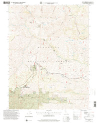
1996 Map of Alder Springs
USGS Topo · Published 2001About this map
Mendocino National Forest terrain dominates this 1990s-era survey of Glenn County, revealing the intricate drainage patterns and remote access points of the Coast Ranges. The topography centers on the small settlement of Alder Junction, a focal point for the mountain roads that thread through this high-elevation landscape. Water resources are mapped in detail, including the steep descent of Browns Canyon and the headwaters of Watson Creek, which define the local watershed. The map serves as a precise record of forest service infrastructure and land management boundaries during a period of transition in California's northern timber and recreation lands. It highlights the stark contrast between protected national forest land and the occasional private inholdings that persist in these isolated canyons.
Find a feature on this map
3 named features on this map. Tap any name to fly to it.
Don’t see what you’re looking for? This feature index may not catch every label — zoom into the map to look around manually.
Map Details
Editions of this 1996 Alder Springs Map
This is the sole edition of this map. No revisions or reprints were ever made.
Other maps of this area

1919 · Elk Creek
USGS Topo · 1:62,500

1948 · Elk Creek
USGS Topo · 1:62,500

1952 · Paskenta
USGS Topo · 1:62,500

1952 · Hull Mountain
USGS Topo · 1:62,500

1952 · Anthony Peak
USGS Topo · 1:62,500

1957 · Elk Creek
USGS Topo · 1:62,500

1957 · Ukiah
USGS Topo · 1:250,000

1960 · Ukiah
USGS Topo · 1:250,000
1967 · Plaskett meadows
USGS Topo · 1:24,000
1967 · Log Spring
USGS Topo · 1:24,000