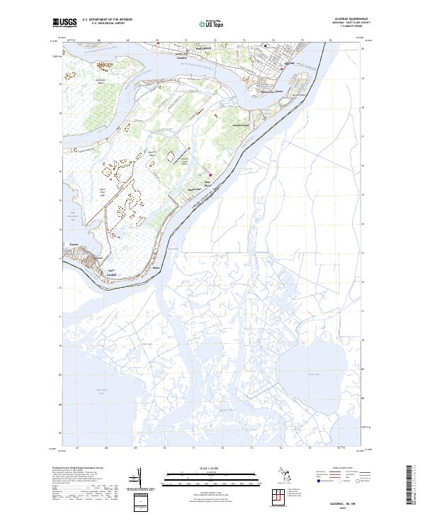
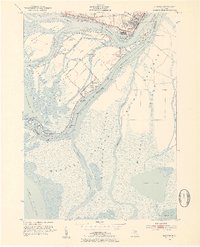
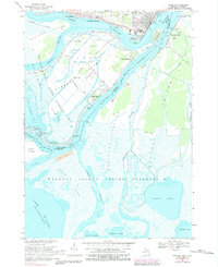
2023 Map of Algonac
USGS Topo · Published 2023About this map
The intricate waterways of the Saint Clair River delta define this maritime landscape along the international border between Michigan and Canada. Centered on the sprawling complex of islands including Dickinson Island and Harsens Island, the map reveals a unique cluster of riverfront settlements such as Sans Souci, Maple Leaf, and Pointe aux Tremble. These communities are tied to the water by a network of channels, including the North Channel and the South Channel, where the mainland and islands meet at Algonac.
Find a feature on this map
69 named features on this map. Tap any name to fly to it.
Don’t see what you’re looking for? This feature index may not catch every label — zoom into the map to look around manually.
Map Details
Editions of this 2023 Algonac Map
This is the sole edition of this map. No revisions or reprints were ever made.
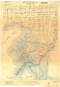
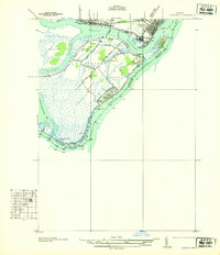
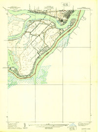
Historical Maps of Algonac Through Time
6 maps found
Featured Locations
- Algonac, MI
- Pointe aux Chenes, Algonac
- Grande Pointe, Clay Township
- San Souci, Clay Township
- Bedore, Clay Township