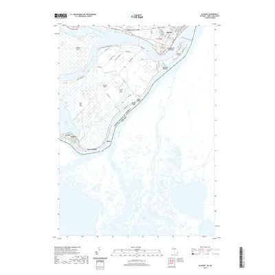
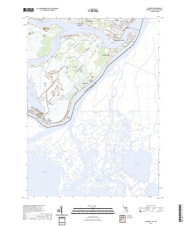
1939 Map of Algonac
USGS Topo · Published 1939About this map
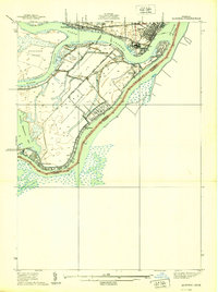
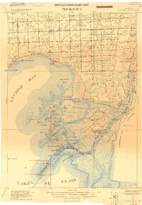
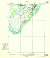
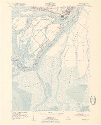
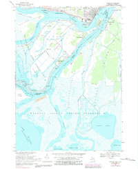
Algonac and the surrounding river delta landscape appear here during a period of transition in the late 1930s. The map detail highlights the complex waterway network of the St Clair River, where the North Channel, Middle Channel, and South Channel diverge to create a labyrinth of islands and marshes. On Harsens Island, a network of roads like Columbine Road and Stewart Road connects small riverfront settlements such as Sans Souci and Maple Leaf. Local community life is anchored by landmarks like the Harsens Island Sch and St Marks Ch, while the southern reaches near Muscamoot Bay remain largely dominated by low-lying terrain. This survey provides a clear look at the international boundary line between Michigan and Ontario, tracing the deep water channels that defined trade and travel between the United States and Canada.
Find a feature on this map
36 named features on this map. Tap any name to fly to it.
Don’t see what you’re looking for? This feature index may not catch every label — zoom into the map to look around manually.
Map Details
Editions of this 1939 Algonac Map
This is the sole edition of this map. No revisions or reprints were ever made.
Historical Maps of Algonac Through Time
10 maps found
1914 Algonac
St. Clair County, MI
1936 Algonac
St. Clair County, MI
1939 Algonac
St. Clair County, MI
1952 Algonac
St. Clair County, MI
1968 Algonac
St. Clair County, MI
2011 Algonac
St. Clair County, MI
2014 Algonac
St. Clair County, MI
2017 Algonac
St. Clair County, MI
2019 Algonac
St. Clair County, MI
2023 Algonac
St. Clair County, MI
Featured Locations
- Clay Township, MI
- Algonac, MI
- Pointe aux Chenes, Algonac
- Grande Pointe, Clay Township
- Forster, Clay Township