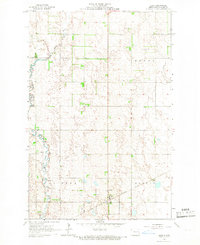
1965 Map of Alice
USGS Topo · Published 1967About this map
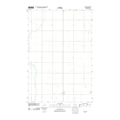
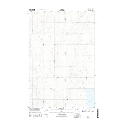
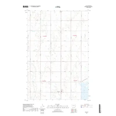
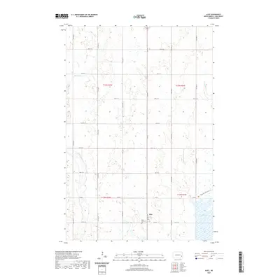
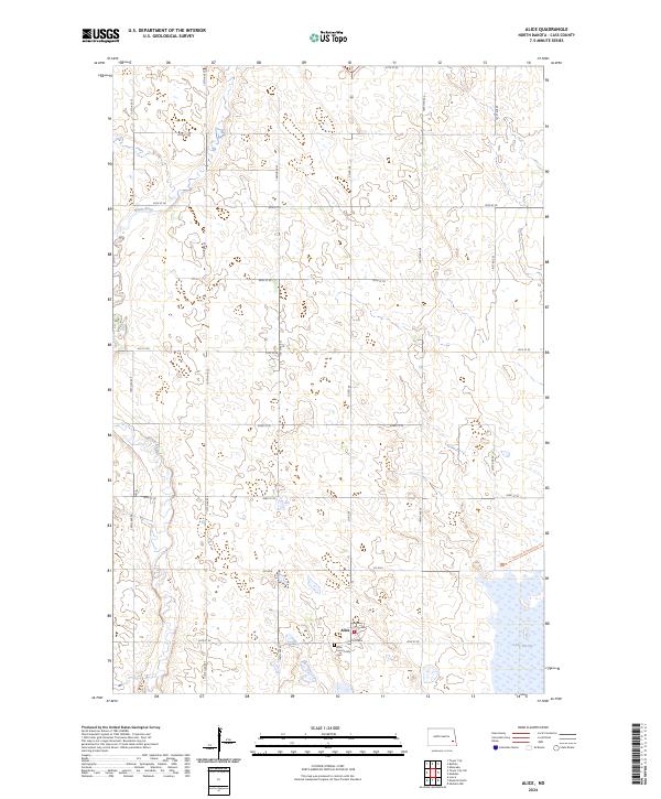
Alice sits as the central hub of this mid-1960s agricultural survey in Cass County, positioned along the Northern Pacific railroad line. The landscape is defined by the winding course of the Maple River, which cuts through the western sections of the map, carving a path through the townships of Hill, Howes, Clifton, and Eldred. This era of documentation highlights a transition in the local economy, as numerous Gravel Pits are scattered near the riverbanks and rail sidings, indicating the extraction of glacial deposits. The map meticulously records the section lines and field boundaries of the Red River Valley’s western edge, capturing the precise layout of rural roads and farmstead locations before decades of agricultural consolidation changed the prairie footprint.
Find a feature on this map
10 named features on this map. Tap any name to fly to it.
Don’t see what you’re looking for? This feature index may not catch every label — zoom into the map to look around manually.
Map Details
Editions of this 1965 Alice Map
This is the sole edition of this map. No revisions or reprints were ever made.
Historical Maps of Alice Through Time
6 maps found