
1965 Map of Lucca
USGS Topo · Published 1967About this map
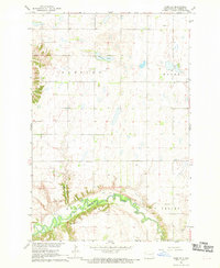
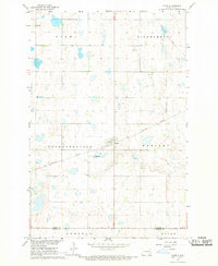
The Northern Pacific and Soo Line railroads intersect at the small prairie junction of Lucca, a vital transport hub for the surrounding agricultural townships in the mid-1960s. This survey illustrates the organized grid of the Red River Valley hinterlands, specifically the townships of Binghamton, Clifton, Raritan, and Pontiac. The terrain is defined by the winding course of the Maple River on the eastern edge, which contrasts with the rectilinear boundaries of the surrounding farms. Local infrastructure is sparse but notable, including the Lindemann Landing Strip and a Radio Tower near the southern border. Numerous Gravel Pits are scattered across the landscape, particularly near the river, indicating the importance of local materials for road building and maintenance in this rural stretch of Barnes County.
Find a feature on this map
18 named features on this map. Tap any name to fly to it.
Don’t see what you’re looking for? This feature index may not catch every label — zoom into the map to look around manually.
Map Details
Editions of this 1965 Lucca Map
This is the sole edition of this map. No revisions or reprints were ever made.
Other maps of this area

1897 · Tower
USGS Topo · 1:125,000

1953 · Fargo
USGS Topo · 1:250,000

1956 · Fargo
USGS Topo · 1:250,000

1960 · Enderlin South
USGS Topo · 1:24,000

1961 · Enderlin North
USGS Topo · 1:24,000

1965 · Alice
USGS Topo · 1:24,000

1965 · Tower City SW
USGS Topo · 1:24,000

1967 · Fingal
USGS Topo · 1:24,000
1967 · Nome SE
USGS Topo · 1:24,000
1967 · Nome
USGS Topo · 1:24,000