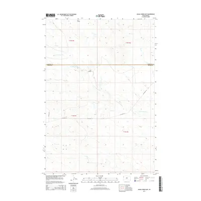
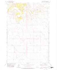
2015 Map of Alkali Creek East
USGS Topo · Published 2015About this map
The S Fork Moreau River winds through the borderlands of Butte and Harding Counties in this 2015 survey, defining a landscape shaped by intermittent watercourses and historical transit routes. This region of South Dakota is characterized by its drainage network, where Alkali Creek and Fourmile Creek carve through the high plains toward the river fork. A prominent corridor of Old Highway 85 cuts across the center of the quadrangle, representing the primary terrestrial link through this sparsely settled territory. The map provides a detailed view of the Public Land Survey System (PLSS) grid, documenting townships T14N and T15N. Local landmarks like Ash Coulee and Cady Creek offer specific points of reference for those tracing historical land use or regional geography in this part of the western Dakotas.
Find a feature on this map
12 named features on this map. Tap any name to fly to it.
Don’t see what you’re looking for? This feature index may not catch every label — zoom into the map to look around manually.
Map Details
Editions of this 2015 Alkali Creek East Map
This is the sole edition of this map. No revisions or reprints were ever made.
Other maps of this area

1935 · Harding
USGS Topo · 1:125,000

1954 · Lemmon
USGS Topo · 1:250,000

1957 · Lemmon
USGS Topo · 1:250,000

1973 · Lone Tree Draw West
USGS Topo · 1:24,000
1973 · Antelope Creek East
USGS Topo · 1:24,000

1973 · Redig
USGS Topo · 1:24,000

1973 · Hells Canyon
USGS Topo · 1:24,000
1977 · Antelope Creek West
USGS Topo · 1:24,000
1978 · Alkali Creek West
USGS Topo · 1:24,000
1978 · Moreau Peak
USGS Topo · 1:24,000