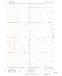
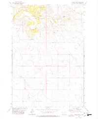
1978 Map of Alkali Creek East
USGS Topo · Published 1978About this map
The confluence of the South Fork Moreau River and the main Moreau River defines this high plains landscape on the border of Butte and Harding counties. The 1978 survey reveals a terrain dominated by an intricate drainage system including Alkali Creek, Fourmile Creek, and Ash Coulee. These watercourses carve through the open range, indicating a landscape shaped by seasonal runoff and long-term ranching activity. The lack of concentrated settlements or infrastructure on this sheet emphasizes the pastoral nature of northwestern South Dakota in the late 1970s. For the local historian or genealogist, the map provides precise locations for smaller tributaries like Spur Creek and Cady Creek, which often served as the primary landmarks for defining property boundaries and homestead locations in this sparsely populated region.
Find a feature on this map
8 named features on this map. Tap any name to fly to it.
Don’t see what you’re looking for? This feature index may not catch every label — zoom into the map to look around manually.
Map Details
Editions of this 1978 Alkali Creek East Map
This is the sole edition of this map. No revisions or reprints were ever made.
Other maps of this area

1935 · Harding
USGS Topo · 1:125,000

1954 · Lemmon
USGS Topo · 1:250,000

1957 · Lemmon
USGS Topo · 1:250,000

1973 · Lone Tree Draw West
USGS Topo · 1:24,000
1973 · Antelope Creek East
USGS Topo · 1:24,000

1973 · Redig
USGS Topo · 1:24,000

1973 · Hells Canyon
USGS Topo · 1:24,000
1977 · Antelope Creek West
USGS Topo · 1:24,000
1978 · Alkali Creek West
USGS Topo · 1:24,000
1978 · Moreau Peak
USGS Topo · 1:24,000