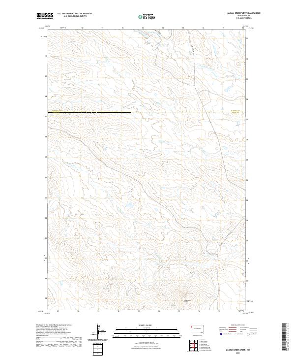
2021 Map of Alkali Creek West
USGS Topo · Published 2021About this map
The rolling plains along the Harding Co Butte Co line define this section of South Dakota, where natural hydrology and early transit routes intersect. The northern portion of the map is dominated by the S Fork Moreau River, which draws in a network of drainage systems including Alkali Cr and Cady Cr. The landscape is largely structured by the Public Land Survey System, with the boundaries of t15n r2e and t14n r3e creating a distinct grid across the open range.
Find a feature on this map
14 named features on this map. Tap any name to fly to it.
Don’t see what you’re looking for? This feature index may not catch every label — zoom into the map to look around manually.
Map Details
Editions of this 2021 Alkali Creek West Map
This is the sole edition of this map. No revisions or reprints were ever made.
Other maps of this area

1935 · Harding
USGS Topo · 1:125,000

1954 · Lemmon
USGS Topo · 1:250,000

1957 · Lemmon
USGS Topo · 1:250,000

1973 · Hells Canyon
USGS Topo · 1:24,000
1977 · Antelope Creek West
USGS Topo · 1:24,000
1977 · Greasewood Draw
USGS Topo · 1:24,000
1978 · Indian Butte
USGS Topo · 1:24,000
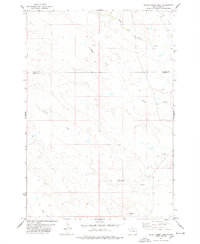
1978 · Alkali Creek West
USGS Topo · 1:24,000
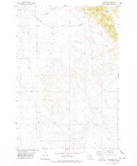
1978 · Gustave
USGS Topo · 1:24,000
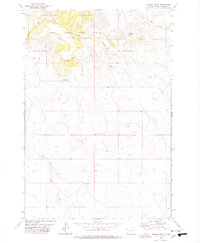
1978 · Moreau Peak
USGS Topo · 1:24,000