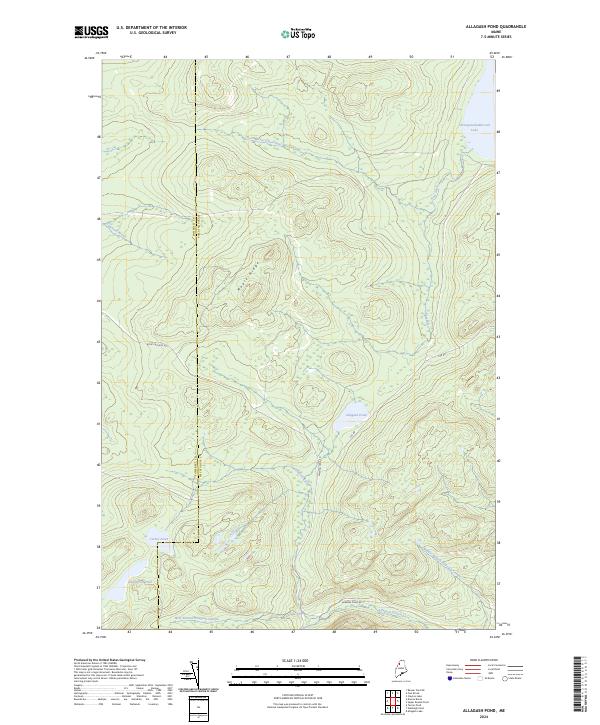
2024 Map of Allagash Pond
USGS Topo · Published 2024About this map
The remote Maine wilderness where the Somerset Co Piscataquis Co line divides the landscape is defined by the complex headwaters of the Allagash wilderness. Centered on Maple Ridge, this terrain transitions from the heights down to the extensive wetlands and water bodies that feed the legendary north-flowing river system. The northern edge is dominated by the reach of Chemquasabamticook Lake and its tributaries, including Ross Inlet and the North Branch Ross Inlet.
Find a feature on this map
16 named features on this map. Tap any name to fly to it.
Don’t see what you’re looking for? This feature index may not catch every label — zoom into the map to look around manually.
Map Details
Editions of this 2024 Allagash Pond Map
This is the sole edition of this map. No revisions or reprints were ever made.
Other maps of this area

1954 · Baker Lake
USGS Topo · 1:62,500

1954 · Allagash Lake
USGS Topo · 1:62,500

1954 · Presque Isle
USGS Topo · 1:250,000

1955 · Beaver Pond
USGS Topo · 1:62,500

1955 · Clayton Lake
USGS Topo · 1:62,500

1958 · Presque Isle
USGS Topo · 1:250,000

1960 · Presque Isle
USGS Topo · 1:250,000

1961 · Allagash Lake
USGS Topo · 1:62,500

1962 · Baker Lake
USGS Topo · 1:62,500
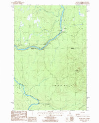
1986 · Beaver Pond SE
USGS Topo · 1:24,000