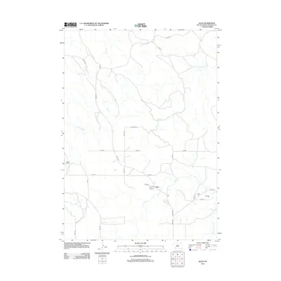
1981 Map of Allen
USGS Topo · Published 1981About this map
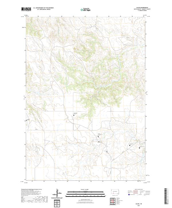
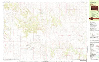
Allen serves as the primary hub in this sparsely populated section of Bennett County during the early 1980s. The landscape is defined by the winding paths of Bear-in-the-Lodge Creek, Potato Creek, and Corn Creek, which cut through the high plains. Small communities and family-named landmarks provide crucial genealogical markers, including the settlement of Plenty Bears and several burial grounds such as Red Bear Cem, Peyote Cem, and Salloway Cem. The presence of St John Cem and its associated church site further anchors the local geography. This mapping, compiled from 1974 photography and field-checked in 1975, captures the rural infrastructure of the era, from the isolated Sewage Disposal Ponds near Allen to the scattered water features like Bad Wound.
Find a feature on this map
14 named features on this map. Tap any name to fly to it.
Don’t see what you’re looking for? This feature index may not catch every label — zoom into the map to look around manually.
Map Details
Editions of this 1981 Allen Map
This is the sole edition of this map. No revisions or reprints were ever made.
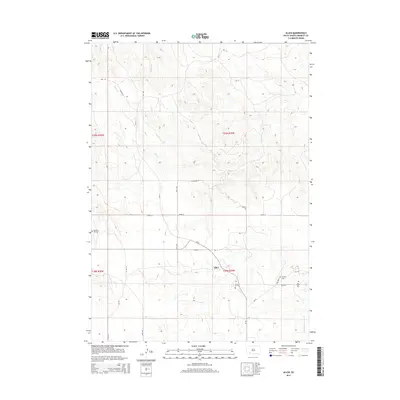
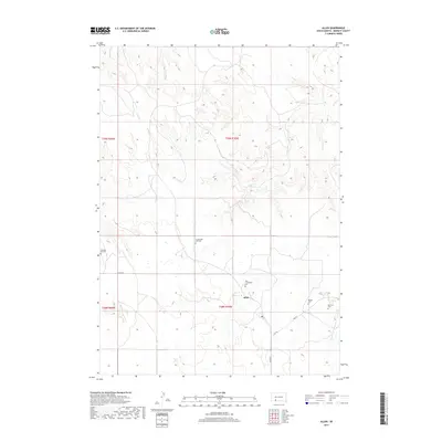
Historical Maps of Martin Through Time
5 maps found