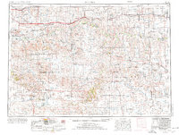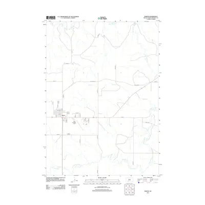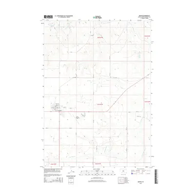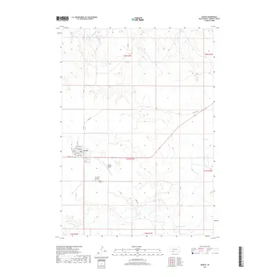
1981 Map of Martin
USGS Topo · Published 1981About this map
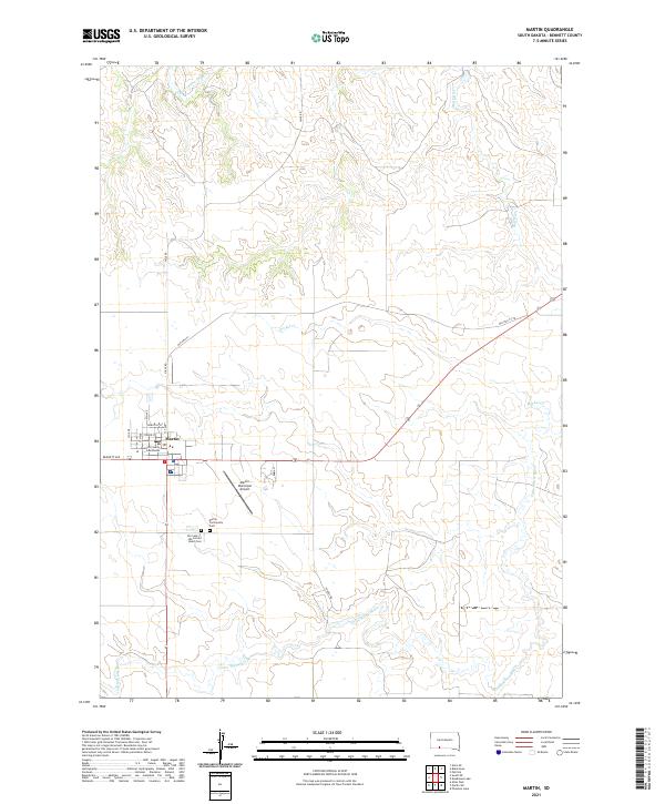
Martin serves as the focal point of this Bennett County landscape, situated at the crossroads of early 1980s prairie life. The town layout reveals a concentrated community footprint including a High Sch and the local Cem, alongside utility infrastructure like the Municipal Airport and Radio Tower. The geography is defined by its water management and conservation, with the Little White River winding through the terrain toward the Lacreek National Wildlife Refuge and the Little White River Reservoir.
Find a feature on this map
18 named features on this map. Tap any name to fly to it.
Don’t see what you’re looking for? This feature index may not catch every label — zoom into the map to look around manually.
Map Details
Editions of this 1981 Martin Map
This is the sole edition of this map. No revisions or reprints were ever made.
Historical Maps of Martin Through Time
8 maps found