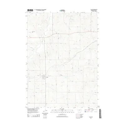
2014 Map of Allen
USGS Topo · Published 2014About this map
The town of Allen serves as the central hub of this Northeast Nebraska landscape, where the grid of Dixon County roads meets the diagonal route of Us-20. This survey illustrates the transition from the rolling drainage of Willow Creek and South Creek in the north to the headwaters of several southern-flowing streams. The topography is defined by significant landmarks like Cottonwood Hill and the engineered waters of Dohma Reservoir. For genealogists and local historians, the Springbank Cemetery stands as a focal point for the surrounding township, while the local street plan of Allen—including Clark Street and Ash Street—is preserved in its early 21st-century configuration. The map traces a complex network of waterways, including the descriptively named Rattlesnake Creek and Minnow Creek, which dictate the rural property lines and agricultural layout of the region.
Find a feature on this map
38 named features on this map. Tap any name to fly to it.
Don’t see what you’re looking for? This feature index may not catch every label — zoom into the map to look around manually.
Map Details
Editions of this 2014 Allen Map
This is the sole edition of this map. No revisions or reprints were ever made.
Other maps of this area

1898 · Elk Point
USGS Topo · 1:125,000

1901 · Elk Point
USGS Topo · 1:125,000

1907 · Elk Point
USGS Topo · 1:125,000

1955 · Sioux City
USGS Topo · 1:250,000

1958 · Sioux City
USGS Topo · 1:250,000

1959 · Sioux City
USGS Topo · 1:250,000

1964 · Martinsburg SW
USGS Topo · 1:24,000
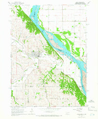
1964 · Ponca
USGS Topo · 1:24,000
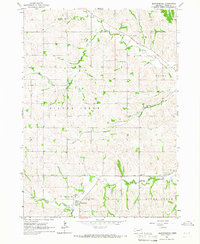
1964 · Martinsburg
USGS Topo · 1:24,000

1967 · Waterbury
USGS Topo · 1:24,000