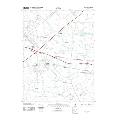
2011 Map of Allentown
USGS Topo · Published 2011About this map
Allentown serves as a focal point in this landscape of southern New Jersey, where the waters of Doctors Creek are managed by the Allentown Dam and pool into Conines Millpond. The map reveals a high concentration of mill-related history along the regional waterways, featuring sites like Spring Mill, Carsons Mills, Kirbys Mills, and Homes Mills. These names underscore the agricultural and early industrial foundation of communities like Imlaystown, where Imlaystown Lake and its corresponding Imlaystown Lake Dam still define the local geography.
Find a feature on this map
46 named features on this map. Tap any name to fly to it.
Don’t see what you’re looking for? This feature index may not catch every label — zoom into the map to look around manually.
Map Details
Editions of this 2011 Allentown Map
This is the sole edition of this map. No revisions or reprints were ever made.
Other maps of this area

1888 · Bordentown
USGS Topo · 1:62,500

1888 · New Brunswick
USGS Topo · 1:62,500

1888 · Princeton
USGS Topo · 1:62,500

1888 · Cassville
USGS Topo · 1:62,500

1893 · Bordentown
USGS Topo · 1:62,500

1893 · New Brunswick
USGS Topo · 1:62,500

1894 · Princeton
USGS Topo · 1:62,500

1894 · Cassville
USGS Topo · 1:62,500

1900 · Cassville
USGS Topo · 1:62,500

1901 · New Brunswick
USGS Topo · 1:62,500
Featured Places
- Hamilton Township, NJ
- East Windsor Township, NJ
- West Windsor, NJ
- Robbinsville Township, NJ
- Millstone Township, NJ