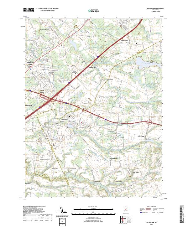
2023 Map of Allentown
USGS Topo · Published 2023About this map
Allentown sits at the heart of this landscape where Mercer, Monmouth, and Burlington counties converge. The area is defined by its deep colonial roots and religious heritage, evidenced by several historic burial grounds including the Allentown Presbyterian Cem, Allentown Methodist Cem, and Saint John's Cem. The hydrology of the region is characterized by slow-moving waterways and millponds, such as Conines Millpond and Imlaystown Lake, which historically powered local industry.
Find a feature on this map
184 named features on this map. Tap any name to fly to it.
Don’t see what you’re looking for? This feature index may not catch every label — zoom into the map to look around manually.
Map Details
Editions of this 2023 Allentown Map
This is the sole edition of this map. No revisions or reprints were ever made.
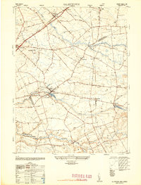
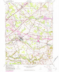
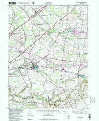
Historical Maps of Imlaystown Through Time
4 maps found
Featured Locations
- East Windsor Township, NJ
- Hamilton Township, NJ
- Robbinsville Township, NJ
- West Windsor, NJ
- Millstone Township, NJ