Loading...
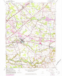
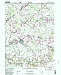
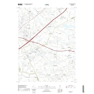
Loading map...1957 Map of Allentown
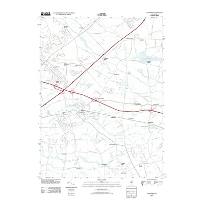
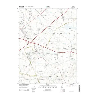
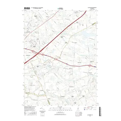
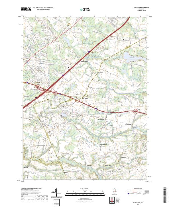
USGS Topo · Published 1982About this map
Allentown sits at the heart of this landscape where Mercer, Monmouth, and Burlington counties converge during the mid-20th century. The area's agricultural and industrial roots are visible in the numerous mill sites along the waterways, such as Carsons Mills, Kirbys Mills, and Homes Mills. To the west, the Trenton-Robbinsville Airport and the New Jersey Turnpike Toll Road mark the increasing modernization of central New Jersey's transportation corridors.
Find a feature on this map
70 named features on this map. Tap any name to fly to it.
Don’t see what you’re looking for? This feature index may not catch every label — zoom into the map to look around manually.
Map Details
Date Portrayed1957
Date Published1982
PublisherU.S. Geological Survey
Map TypeTopographic
Scale1:24,000
Physical Dimensions22 x 26.7 inches
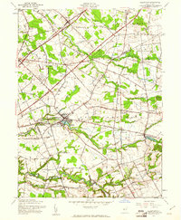
Editions of this 1957 Allentown Map
3 editions found
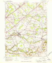
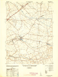
Historical Maps of Hamilton Township Through Time
8 maps found
Featured Locations
- East Windsor Township, NJ
- Hamilton Township, NJ
- Robbinsville Township, NJ
- West Windsor, NJ
- Millstone Township, NJ
Source Details
SourceU.S. Geological Survey
CopyrightPublic Domain