2024 Map of Alma
USGS Topo · Published 2024About this map
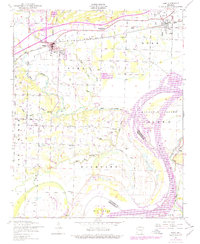
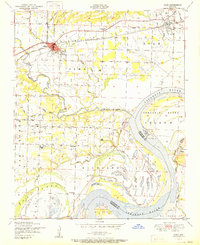
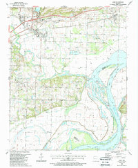
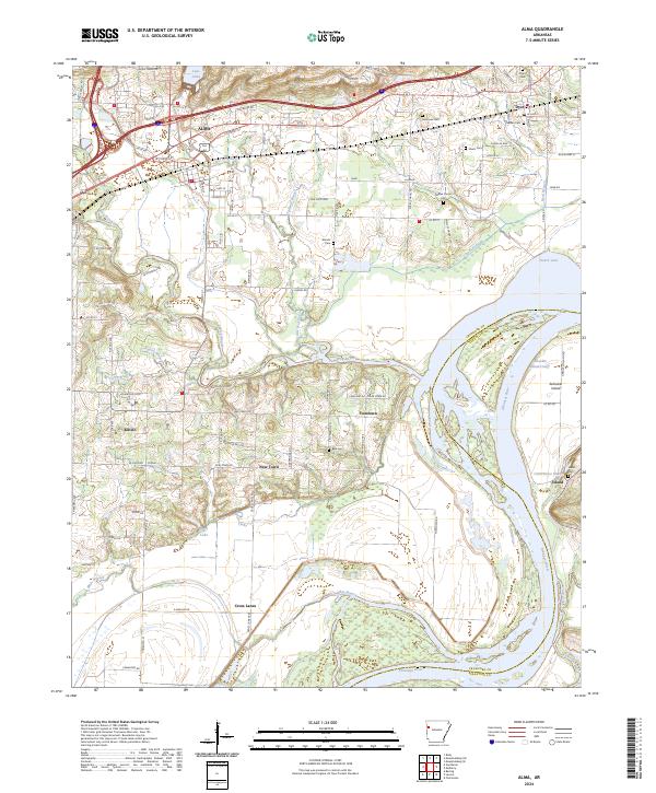
Alma and Dyer anchor this portion of the Arkansas River valley, where the landscape transitions from the higher ground near Lake Alma down to the fertile bottomlands and islands of the river. The area is marked by a complex network of waterways, including Frog Bayou, Tadpole Branch, and Crooked Slough, which weave through the lowlands east of Kibler. Settlement patterns are well-defined by small communities like Yoestown, New Town, and Cross Lanes, which are situated between the winding river and the northern uplands.
Find a feature on this map
79 named features on this map. Tap any name to fly to it.
Don’t see what you’re looking for? This feature index may not catch every label — zoom into the map to look around manually.
Map Details
Editions of this 2024 Alma Map
This is the sole edition of this map. No revisions or reprints were ever made.
Historical Maps of Cross Lanes Through Time
5 maps found