Loading...
Loading map...2021 Map of Alma
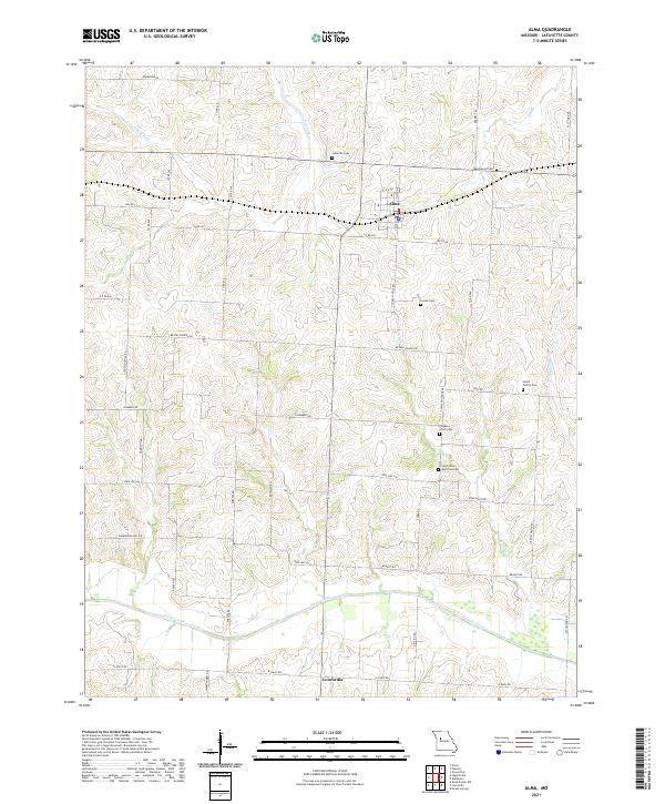
USGS Topo · Published 2021About this map
Alma and the northern edge of Concordia anchor this agricultural landscape in Lafayette County, where the terrain is defined by the drainage of the S Fork Salt Fork and Davis Creek. The map reveals a high concentration of small, family-linked and denominational burial grounds, such as the Lutheran Cem and Lewis Family Cem, which reflect the generations of settlement in this region of Missouri.
Find a feature on this map
56 named features on this map. Tap any name to fly to it.
Don’t see what you’re looking for? This feature index may not catch every label — zoom into the map to look around manually.
Map Details
Date Portrayed2021
Date Published2021
PublisherU.S. Geological Survey
Map TypeTopographic
Scale1:24000
Physical Dimensions24 x 29 inches
Editions of this 2021 Alma Map
This is the sole edition of this map. No revisions or reprints were ever made.
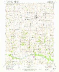
Historical Maps of Alma Through Time
Featured Locations
Source Details
SourceU.S. Geological Survey
CopyrightPublic Domain