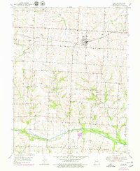
1951 Map of Alma
USGS Topo · Published 1979About this map
Alma serves as the central hub of this agricultural landscape in Lafayette County, situated at the intersection of local township boundaries including Middleton, Davis, and Freedom. The town is bisected by the Gulf Mobile and Ohio railroad, which historically linked the region's productive farms to wider markets. The survey illustrates a well-developed network of rural institutions, such as Elk Grove Sch and Brackman Sch, alongside community anchors like Lutheran Cem and Maple Cem.
Find a feature on this map
23 named features on this map. Tap any name to fly to it.
Don’t see what you’re looking for? This feature index may not catch every label — zoom into the map to look around manually.
Map Details
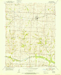
Editions of this 1951 Alma Map
3 editions found

Other maps of this area

1885 · Warrensburg
USGS Topo · 1:125,000

1887 · Sedalia
USGS Topo · 1:125,000

1887 · Warrensburg
USGS Topo · 1:125,000

1889 · Lexington
USGS Topo · 1:125,000

1890 · Marshall
USGS Topo · 1:125,000

1892 · Marshall
USGS Topo · 1:125,000

1894 · Sedalia
USGS Topo · 1:125,000

1894 · Warrensburg
USGS Topo · 1:125,000

1901 · Marshall
USGS Topo · 1:125,000

1917 · Knobnoster
USGS Topo · 1:62,500