
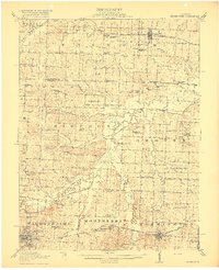
1917 Map of Knobnoster
USGS Topo · Published 1917About this map
The Blackwater River and its managed tributaries form the central corridor of this 1915 survey, which details a landscape of rural school districts and small rail towns on the border of Johnson and Lafayette counties. The engineering of the day is visible in the Drainage Ditch systems flanking the river, while the Pacific Missouri railroad serves as the primary artery for Knobnoster and Montserrat.
Find a feature on this map
63 named features on this map. Tap any name to fly to it.
Don’t see what you’re looking for? This feature index may not catch every label — zoom into the map to look around manually.
Map Details
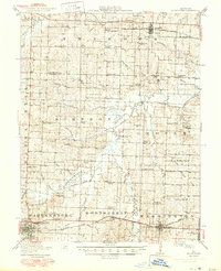
Editions of this 1917 Knobnoster Map
3 editions found
Other maps of this area

1885 · Warrensburg
USGS Topo · 1:125,000

1887 · Sedalia
USGS Topo · 1:125,000

1887 · Warrensburg
USGS Topo · 1:125,000

1889 · Lexington
USGS Topo · 1:125,000

1890 · Marshall
USGS Topo · 1:125,000

1892 · Marshall
USGS Topo · 1:125,000

1894 · Sedalia
USGS Topo · 1:125,000

1894 · Warrensburg
USGS Topo · 1:125,000

1901 · Marshall
USGS Topo · 1:125,000

1939 · Sweet Springs
USGS Topo · 1:62,500