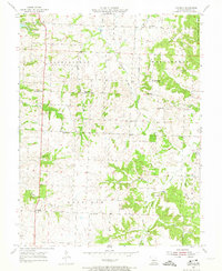
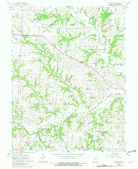
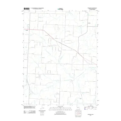
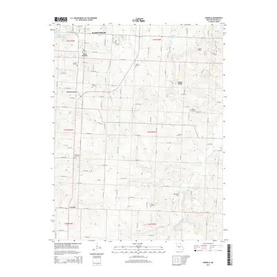
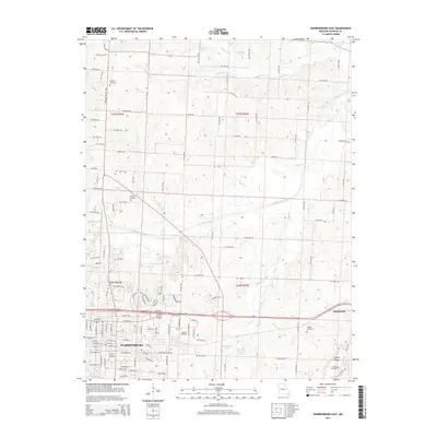
1917 Map of Knobnoster
USGS Topo · Published 1950About this map
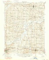
The Missouri Pacific railroad anchors the southern and northern corridors of this central Missouri landscape, connecting the towns of Knobnoster and Montserrat along the southern line and Concordia to the north. Surveyed in 1915, the map reveals a dense network of rural schoolhouses that served the scattered farmstead communities, including Hazel Dell School, Walkenhorst School, and Ebenezer School. The Blackwater River and its managed Drainage Ditch bifurcate the terrain, reflecting early 20th-century efforts to reclaim fertile bottomlands for agriculture.
Find a feature on this map
64 named features on this map. Tap any name to fly to it.
Don’t see what you’re looking for? This feature index may not catch every label — zoom into the map to look around manually.
Map Details
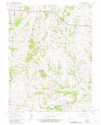
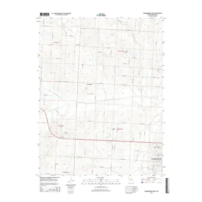
Editions of this 1917 Knobnoster Map
3 editions found

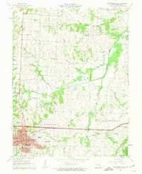
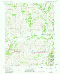
Historical Maps of Warrensburg Through Time
36 maps found
1917 Knobnoster
Johnson County, MO
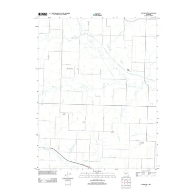
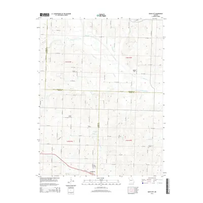
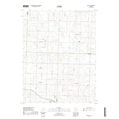
1954 Quick City
Johnson County, MO
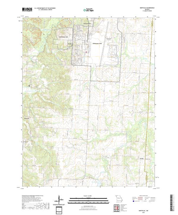
1955 Burtville
Johnson County, MO
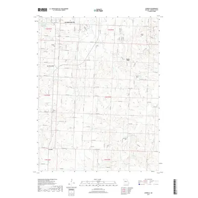
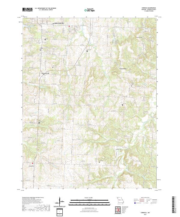
1955 Cornelia
Johnson County, MO
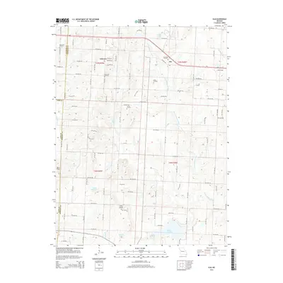
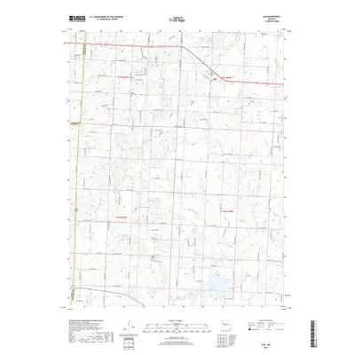
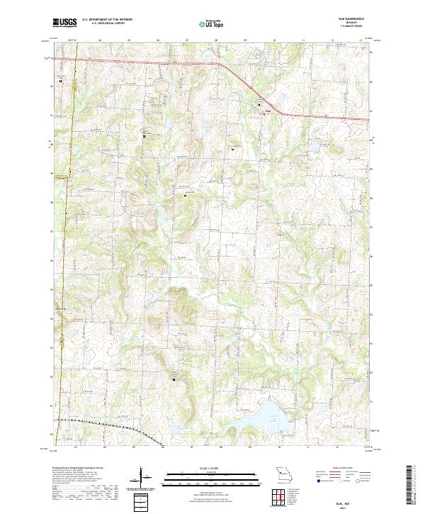
1962 Elm
Johnson County, MO
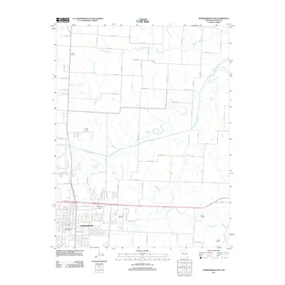
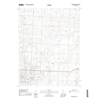
1962 Warrensburg East
Johnson County, MO
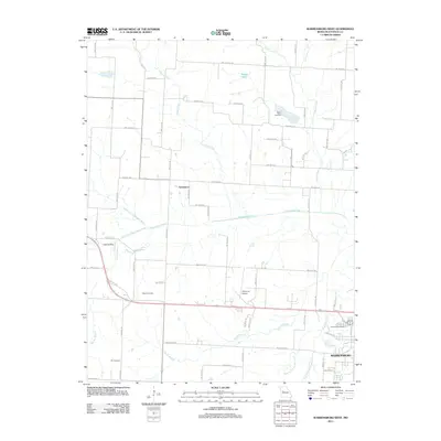
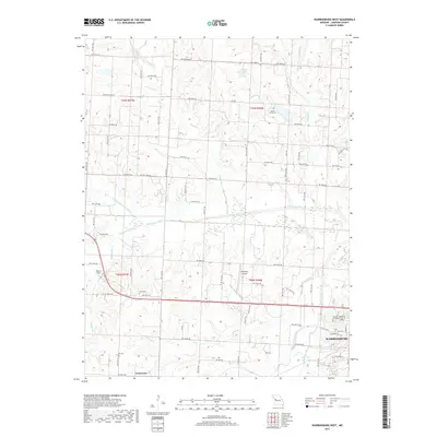
1962 Warrensburg West
Johnson County, MO
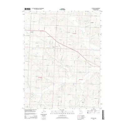
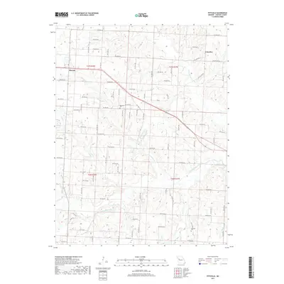
1963 Pittsville
Johnson County, MO
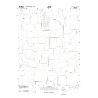
2011 Burtville
Johnson County, MO
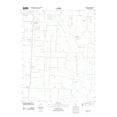
2011 Cornelia
Johnson County, MO
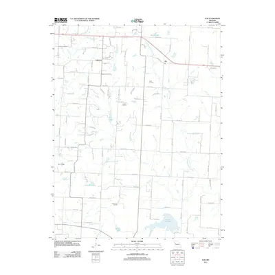
2011 Elm
Johnson County, MO
2011 Pittsville
Johnson County, MO
2011 Quick City
Johnson County, MO
2011 Warrensburg East
Johnson County, MO
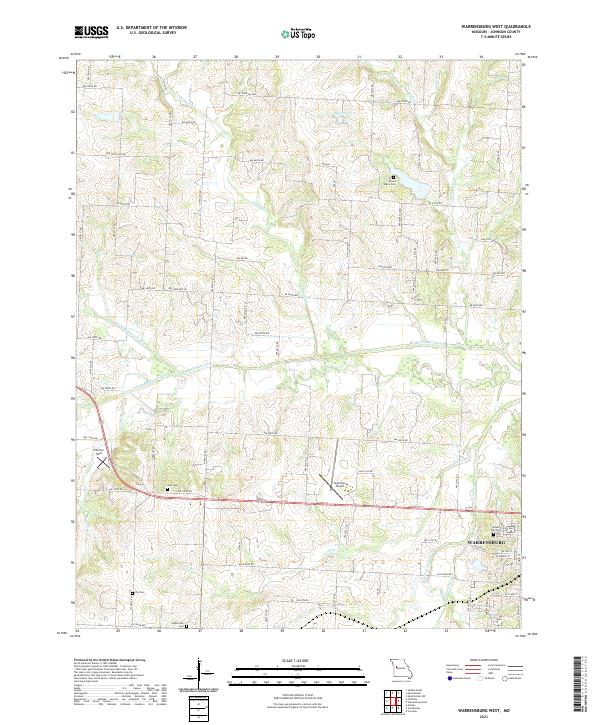
2011 Warrensburg West
Johnson County, MO
2014 Cornelia
Johnson County, MO
2014 Elm
Johnson County, MO
2014 Pittsville
Johnson County, MO
2014 Quick City
Johnson County, MO
2014 Warrensburg East
Johnson County, MO
2014 Warrensburg West
Johnson County, MO
2015 Burtville
Johnson County, MO
2017 Burtville
Johnson County, MO
2017 Cornelia
Johnson County, MO
2017 Elm
Johnson County, MO
2017 Pittsville
Johnson County, MO
2017 Quick City
Johnson County, MO
2017 Warrensburg East
Johnson County, MO
2017 Warrensburg West
Johnson County, MO
2021 Burtville
Johnson County, MO
2021 Cornelia
Johnson County, MO
2021 Elm
Johnson County, MO
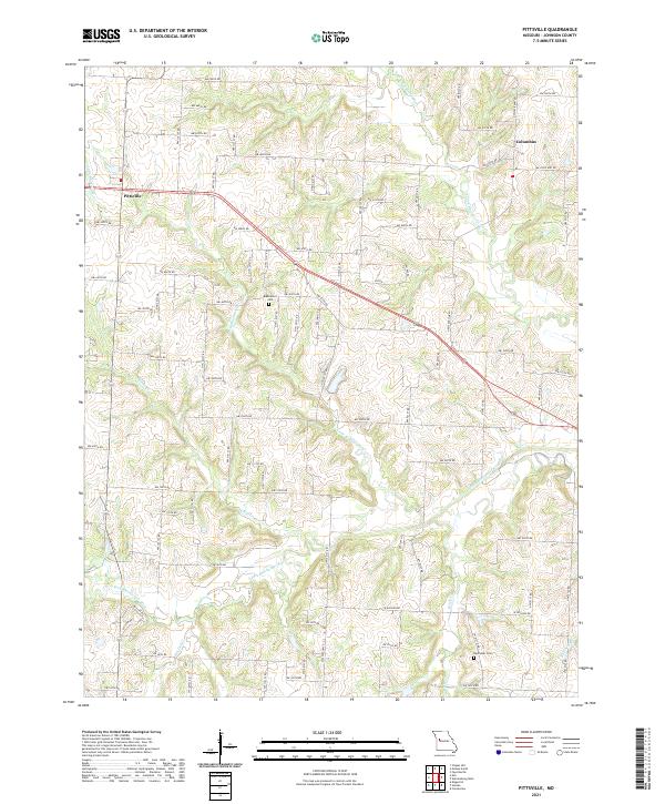
2021 Pittsville
Johnson County, MO
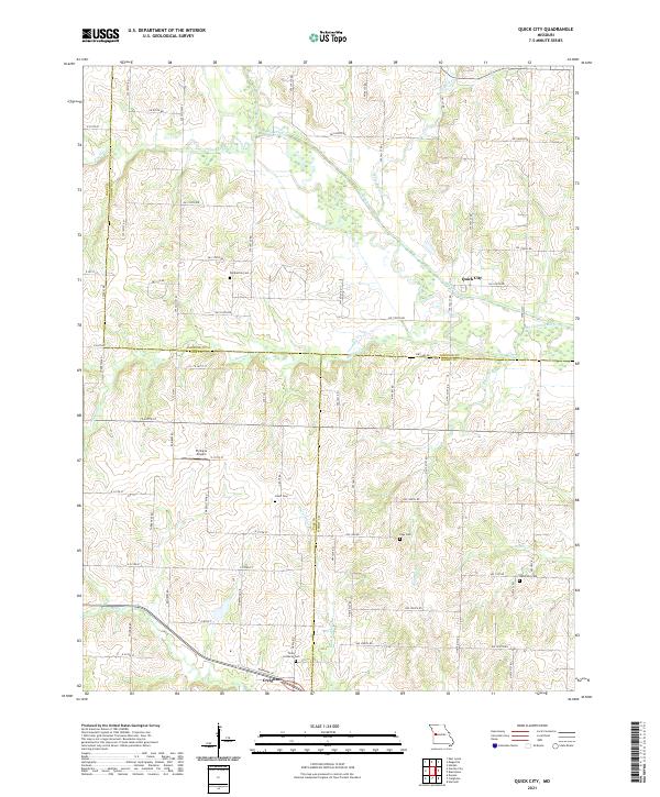
2021 Quick City
Johnson County, MO
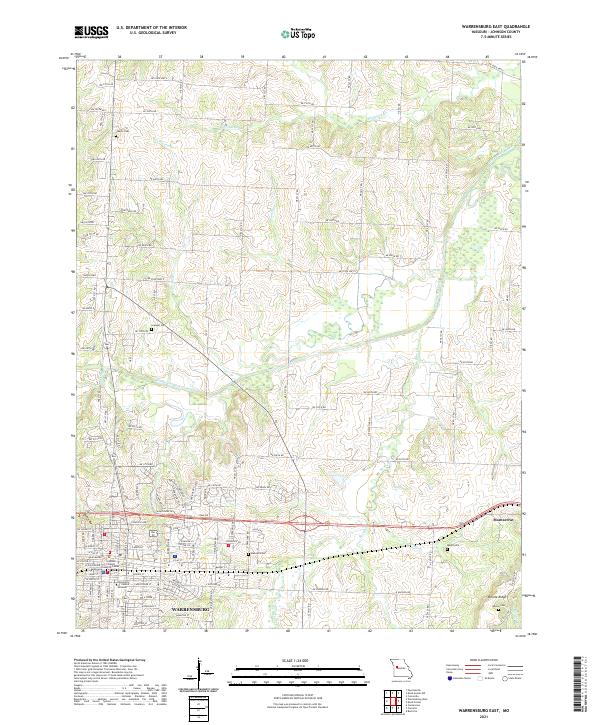
2021 Warrensburg East
Johnson County, MO
2021 Warrensburg West
Johnson County, MO