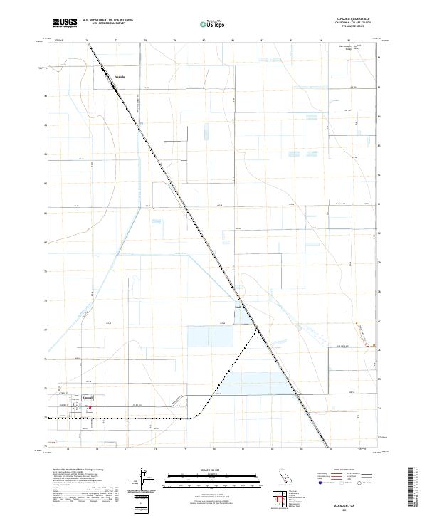
2021 Map of Alpaugh
USGS Topo · Published 2021About this map
Alpaugh anchors the southern portion of this landscape within the San Joaquin Valley, characterized by a grid of agricultural access roads and a complex water management system. The geography is defined by irrigation and drainage features like the Homeland Canal and the Bayou Vista Side Ditch, which support the intensive cultivation of the Central Valley. Small settlements such as Angiola and Stoil appear along the rail corridor that cuts diagonally across the terrain, marking historic points of transit and commerce for the local farming community. In the eastern reaches, the Pixley Interpretive Trl provides a rare point of public access near the seasonal waters of Deer Creek. The map captures a moment in the modern era where geometric land divisions and hydraulic engineering have completely transformed the natural hydrology of the Tulare Lake basin.
Find a feature on this map
56 named features on this map. Tap any name to fly to it.
Don’t see what you’re looking for? This feature index may not catch every label — zoom into the map to look around manually.
Map Details
Editions of this 2021 Alpaugh Map
This is the sole edition of this map. No revisions or reprints were ever made.
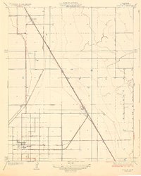
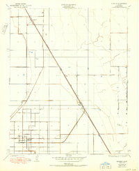
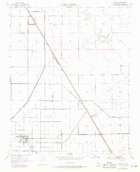
Historical Maps of Alpaugh Through Time
4 maps found