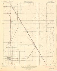
1929 Map of Alpaugh
USGS Topo · Published 1929About this map
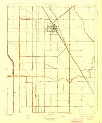
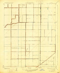
Alpaugh and the surrounding San Joaquin Valley floor appear here as a landscape of geometric precision, surveyed just before the 1930s. The town site is meticulously gridded, serving as a hub for the local agricultural economy and the nearby Atchison Topeka and Santa Fe railroad line. This rail corridor acts as the primary spine of the region, connecting small siding settlements and loading points like Angiola, Spa, and Stoil to larger markets.
Find a feature on this map
7 named features on this map. Tap any name to fly to it.
Don’t see what you’re looking for? This feature index may not catch every label — zoom into the map to look around manually.
Map Details
Editions of this 1929 Alpaugh Map
2 editions found
Other maps of this area

1914 · Lost Hills
USGS Topo · 1:125,000
1925 · Tipton
USGS Topo · 1:31,680
1927 · Lake View School
USGS Topo · 1:31,680
1928 · Tipton
USGS Topo · 1:31,680
1928 · Corcoran
USGS Topo · 1:31,680
1929 · Alpaugh
USGS Topo · 1:31,680
1929 · Hacienda Ranch
USGS Topo · 1:31,680
1929 · Pixley
USGS Topo · 1:31,680
1929 · West Alpaugh
USGS Topo · 1:31,680
1929 · Stone
USGS Topo · 1:31,680