
1914 Map of Lost Hills
USGS Topo · Published 1914About this map
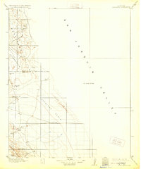
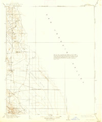
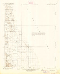
San Joaquin Valley ranching and early petroleum exploration are documented in this pre-World War I survey of the western desert lands. The landscape is defined by the prominent Kettleman Hills and Lost Hills, where early drilling is evidenced by labels for Well and County Well scattered across the Antelope Plain. Isolated outposts like McDonalds Ranch and vital water sources such as Alamo Solo Spr and Napoleon Spr provided essential infrastructure for stockmen and travelers navigating the Dudley-Lemoore Road. The northern edge captures the southern reaches of Tulare Lake, a massive water body since transformed by agriculture. This map preserves the era when the Temblor Range and Pyramid Hills served as rugged landmarks for those crossing the arid plains between the valley floor and the coastal ranges.
Find a feature on this map
25 named features on this map. Tap any name to fly to it.
Don’t see what you’re looking for? This feature index may not catch every label — zoom into the map to look around manually.
Map Details
Editions of this 1914 Lost Hills Map
4 editions found
Other maps of this area

1910 · Buena Vista Lake
USGS Topo · 1:125,000

1912 · Coalinga
USGS Topo · 1:125,000

1912 · McKittrick
USGS Topo · 1:125,000

1912 · Buena Vista Lake
USGS Topo · 1:125,000

1914 · Cholame
USGS Topo · 1:125,000

1915 · Cholame
USGS Topo · 1:125,000

1917 · Cholame
USGS Topo · 1:125,000

1927 · Semitropic
USGS Topo · 1:31,680

1927 · Lake View School
USGS Topo · 1:31,680

1928 · Corcoran
USGS Topo · 1:31,680