
1912 Map of Coalinga
USGS Topo · Published 1912About this map
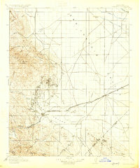
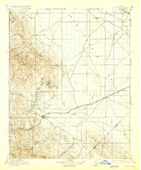
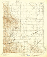
The nascent petroleum industry and agricultural expansion meet in this survey of the western edge of the San Joaquin Valley. Recorded shortly after the peak of the local oil boom, the map reveals the dense network of roads and pipelines serving Oilfields and Coalinga, while the Southern Pacific railroad extends its Alcalde Branch to the foot of the hills. The landscape is a study in contrasts, moving from the irrigated plains near Wheatville and Tulare Lake Slough to the complex terrain of Monocline Ridge and the Kettleman Hills. Industrial footprints are clearly visible, from the Pumping Station along the canals to the San Joaquin Valley Coal Mine tucked into the foothills. This period marks the transition where traditional ranching and early mining were being superseded by massive fossil fuel extraction and large-scale water management in the Pleasant Valley.
Find a feature on this map
54 named features on this map. Tap any name to fly to it.
Don’t see what you’re looking for? This feature index may not catch every label — zoom into the map to look around manually.
Map Details
Editions of this 1912 Coalinga Map
4 editions found
Other maps of this area

1913 · Panoche
USGS Topo · 1:125,000

1914 · Lost Hills
USGS Topo · 1:125,000

1914 · Cholame
USGS Topo · 1:125,000

1915 · Priest Valley
USGS Topo · 1:125,000

1915 · Cholame
USGS Topo · 1:125,000

1917 · Cholame
USGS Topo · 1:125,000

1919 · San Miguel
USGS Topo · 1:62,500

1923 · Levis
USGS Topo · 1:31,680

1923 · Englebrecht Ranch
USGS Topo · 1:31,680

1923 · Monocline Ridge
USGS Topo · 1:31,680