
1923 Map of Monocline Ridge
USGS Topo · Published 1923About this map
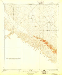
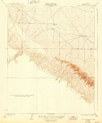
Monocline Ridge dominates this 1921 survey of the Fresno County landscape, revealing a period of early infrastructure and geographic education in the California foothills. The map captures the remote Tumey Gulch School positioned near the head of a winding drainage, serving as a focal point for a sparse rural population. The presence of an Oil Pumping Station in the eastern flats signals the region's developing petroleum industry, connected to the wider world by a network of unimproved roads and survey tracks. Surveyed by E.T.Walker, the topography illustrates the transition from the steep, dissected terrain of the Tumey Hills to the gentler alluvial slopes where ephemeral watercourses like Tumey Gulch lose their definition. This sheet provides a detailed record of land ownership boundaries and elevation before modern agricultural and industrial expansion reshaped the valley floor.
Find a feature on this map
6 named features on this map. Tap any name to fly to it.
Don’t see what you’re looking for? This feature index may not catch every label — zoom into the map to look around manually.
Map Details
Editions of this 1923 Monocline Ridge Map
3 editions found
Other maps of this area

1912 · Coalinga
USGS Topo · 1:125,000

1913 · Panoche
USGS Topo · 1:125,000

1915 · Priest Valley
USGS Topo · 1:125,000

1921 · Tierra Loma School
USGS Topo · 1:31,680

1922 · Tufts Ranch
USGS Topo · 1:31,680

1922 · Chaney Ranch
USGS Topo · 1:31,680

1923 · Levis
USGS Topo · 1:31,680

1923 · Tierra Loma School
USGS Topo · 1:31,680

1943 · New Idria
USGS Topo · 1:62,500

1943 · Joaquin Rocks
USGS Topo · 1:62,500