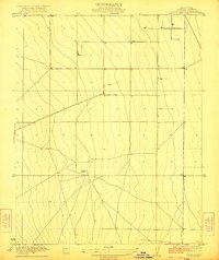
1922 Map of Tufts Ranch
USGS Topo · Published 1922About this map
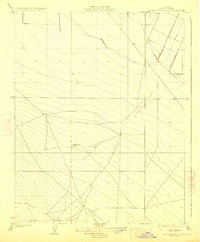
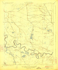
Tufts Ranch serves as the primary focal point of this agricultural landscape in Fresno County, as documented by surveyors R.A. Kiger and Adolph Fankhauser in 1920. The terrain is characterized by the vast, open expanses of the San Joaquin Valley, where the grid of sections and a network of irrigation canals or access roads begin to define the territory. The topography, mapped at a fine five-foot contour interval, reveals the subtle drainage patterns and natural slopes that dictated the placement of early ranching infrastructure. This document captures a moment before intensive modern development, showing a workspace of large land holdings and specialized ranching outposts typical of the Central Valley's early 20th-century expansion.
Find a feature on this map
1 named feature on this map. Tap any name to fly to it.
Don’t see what you’re looking for? This feature index may not catch every label — zoom into the map to look around manually.
Map Details
Editions of this 1922 Tufts Ranch Map
This is the sole edition of this map. No revisions or reprints were ever made.
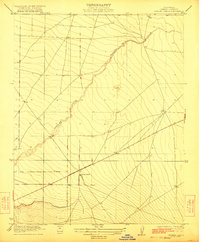
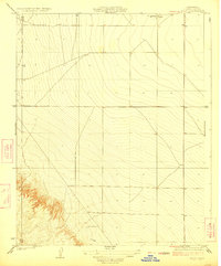
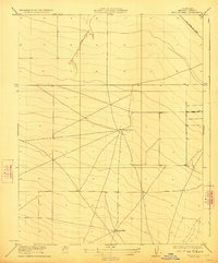
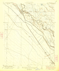
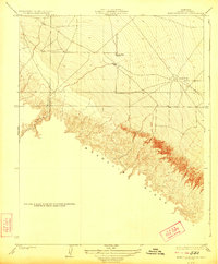
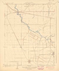
Other maps of this area

1913 · Panoche
USGS Topo · 1:125,000

1921 · Mendota
USGS Topo · 1:31,680
1922 · Chaney Ranch
USGS Topo · 1:31,680
1923 · Levis
USGS Topo · 1:31,680
1923 · Wisdom Well
USGS Topo · 1:31,680
1923 · Englebrecht Ranch
USGS Topo · 1:31,680
1923 · Firebaugh
USGS Topo · 1:31,680
1923 · Monocline Ridge
USGS Topo · 1:31,680
1924 · Tranquillity
USGS Topo · 1:31,680
1924 · Mendota
USGS Topo · 1:31,680