
1924 Map of Tranquillity
USGS Topo · Published 1924About this map
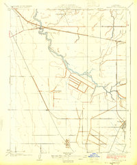
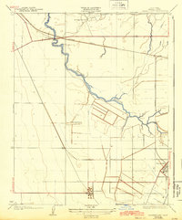
Tranquillity and its surrounding agricultural landscape are documented here during a period of transition in Fresno County's development. The map prominently follows the path of the Kings River Slough as it meanders northwest, intersecting with the Southern Pacific railroad line near Ingle. Large-scale landholdings are a defining feature of this era, with named properties like Herminghaus Ranch and Borland Ranch illustrating the region's ranching and farming foundations. Industrial infrastructure is visible south of the town center at the Oil Pumping Sta, reflecting the importance of the energy sector alongside agriculture. The survey also marks Whites Bridge, a key crossing point that served as a local transit hub. This detailed view captures the essential infrastructure of the San Joaquin Valley before mid-century modernization altered the irrigation and transport patterns of the Central Valley.
Find a feature on this map
8 named features on this map. Tap any name to fly to it.
Don’t see what you’re looking for? This feature index may not catch every label — zoom into the map to look around manually.
Map Details
Editions of this 1924 Tranquillity Map
3 editions found
Other maps of this area

1921 · Mendota
USGS Topo · 1:31,680

1922 · Tufts Ranch
USGS Topo · 1:31,680

1923 · Levis
USGS Topo · 1:31,680

1923 · Englebrecht Ranch
USGS Topo · 1:31,680

1923 · Firebaugh
USGS Topo · 1:31,680

1924 · Jamesan
USGS Topo · 1:31,680

1924 · Gravelly Ford
USGS Topo · 1:31,680

1924 · Mendota
USGS Topo · 1:31,680

1925 · San Joaquin
USGS Topo · 1:31,680
1941 · Firebaugh
USGS Topo · 1:31,680