Loading...
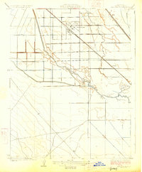
Loading map...1925 Map of San Joaquin
USGS Topo · Published 1925About this map
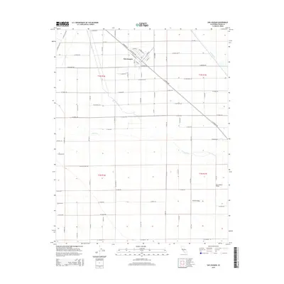
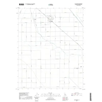
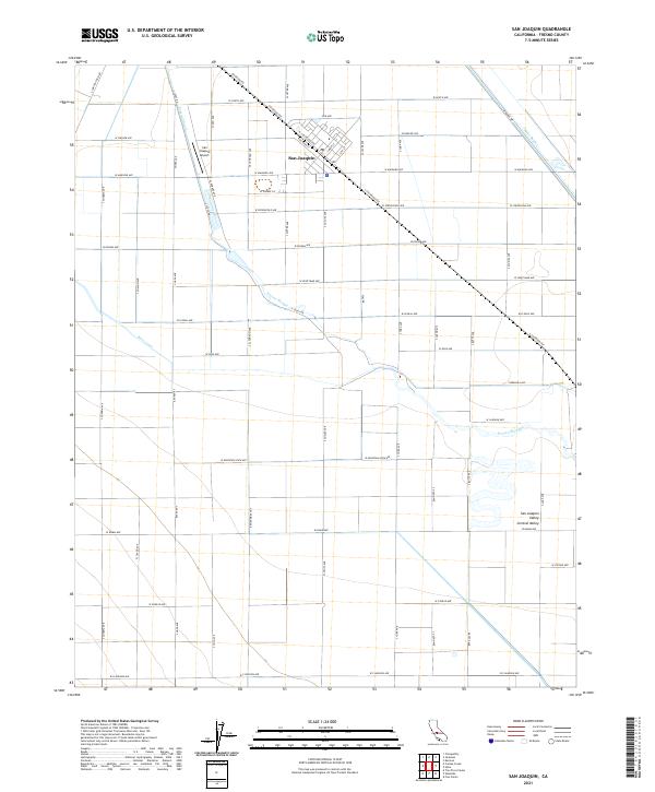
San Joaquin serves as the primary hub of this Central Valley landscape, situated along the Southern Pacific railroad line during the mid-1920s. The region is defined by an intensive network of water management infrastructure, including the Main Canal, Beta Main Canal, and Enterprise Canal, which illustrate the early engineering required to transform the arid plains of Fresno County into productive farmland.
Find a feature on this map
11 named features on this map. Tap any name to fly to it.
Don’t see what you’re looking for? This feature index may not catch every label — zoom into the map to look around manually.
Map Details
Date Portrayed1925
Date Published1925
PublisherU.S. Geological Survey
Map TypeTopographic
Scale1:31,680
Physical Dimensions16.4 x 19.8 inches
Editions of this 1925 San Joaquin Map
This is the sole edition of this map. No revisions or reprints were ever made.
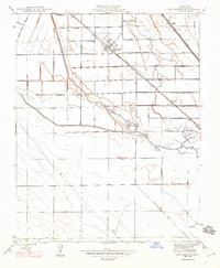
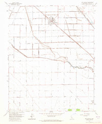
Historical Maps of San Joaquin Through Time
7 maps found
Featured Locations
Source Details
SourceU.S. Geological Survey
CopyrightPublic Domain